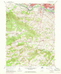
1956 Map of Pottstown
USGS Topo · Published 1969About this map
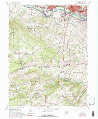
The Schuylkill River serves as the industrial and transportation spine for this region, separating the core of Pottstown from its southern outskirts and neighbors like Stowe. The river valley is a corridor of infrastructure, hosting both the Reading and Penn Central railroads, along with a significant Filtration Plant and Substation. To the south, the landscape shifts into the rural hills of northern Chester County, where small crossroads settlements and community institutions define the social geography. Places like Knauertown, Pughtown, and Coventryville are connected by winding roads such as Ridge Road, which follows the high ground above the many branches of French Creek. This 1956 survey, updated in 1968, captures the area during a period of suburban transition. While the north remains heavily industrialized, the southern sections are characterized by pockets of preserved space like French Creek State Park and youth camps including Camp Innabah and Camp Sankanac. The presence of Porters Mill on Pigeon Creek reflects the older water-powered industry that once supported these isolated villages.
Find a feature on this map
60 named features on this map. Tap any name to fly to it.
Don’t see what you’re looking for? This feature index may not catch every label — zoom into the map to look around manually.
Map Details
Editions of this 1956 Pottstown Map
5 editions found
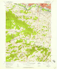
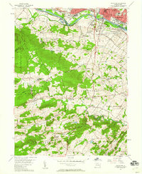
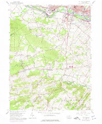
Other maps of this area

1894 · Reading
USGS Topo · 1:62,500

1902 · Boyertown
USGS Topo · 1:62,500

1905 · Honey Brook
USGS Topo · 1:62,500

1906 · Phoenixville
USGS Topo · 1:62,500

1907 · Honeybrook
USGS Topo · 1:62,500

1913 · Reading
USGS Topo · 1:62,500

1915 · Reading
USGS Topo · 1:62,500

1941 · Honeybrook
USGS Topo · 1:62,500
1943 · Sassamansville
USGS Topo · 1:31,680
1943 · Boyertown
USGS Topo · 1:31,680