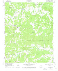
1965 Map of Poughkeepsie
USGS Topo · Published 1975About this map
Poughkeepsie and Nelsonville anchor this mid-1960s study of the terrain where Sharp and Independence Counties meet. The landscape is defined by the winding course of the Strawberry River and its numerous tributaries, including Hurricane Cr and Freeman Branch. The map reveals a deeply rural pattern of settlement, centered on small crossroads communities like Ben-Gay and Calamine.
Find a feature on this map
40 named features on this map. Tap any name to fly to it.
Don’t see what you’re looking for? This feature index may not catch every label — zoom into the map to look around manually.
Map Details
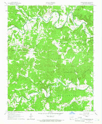
Editions of this 1965 Poughkeepsie Map
2 editions found
Other maps of this area

1890 · Batesville
USGS Topo · 1:125,000

1891 · Batesville
USGS Topo · 1:125,000

1932 · Strawberry
USGS Topo · 1:62,500

1935 · Strawberry
USGS Topo · 1:62,500

1941 · Strawberry
USGS Topo · 1:62,500

1943 · Cave City
USGS Topo · 1:31,680

1953 · Memphis
USGS Topo · 1:250,000

1955 · Strawberry
USGS Topo · 1:24,000

1956 · Memphis
USGS Topo · 1:250,000

1957 · Poplar Bluff
USGS Topo · 1:250,000