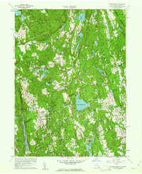
1960 Map of Pound Ridge
USGS Topo · Published 1961About this map
Ward Pound Ridge Reservation dominates the northern reaches of this landscape, a large expanse of wooded terrain and high ridges like Stone Hill and Raven Rocks. As the New York and Connecticut border winds through the center of the sheet, it separates the evolving suburban tracts of Westchester and Fairfield counties. The area is characterized by its extensive reservoir systems, including the Cross River Reservoir, Trinity Lake, and the Mianus River Reservoir, which illustrate the region's critical role in regional water management during the mid-century.
Find a feature on this map
66 named features on this map. Tap any name to fly to it.
Don’t see what you’re looking for? This feature index may not catch every label — zoom into the map to look around manually.
Map Details
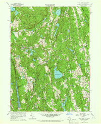
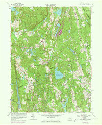
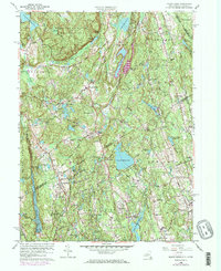
Editions of this 1960 Pound Ridge Map
4 editions found
Other maps of this area

1892 · Stamford
USGS Topo · 1:62,500

1892 · Danbury
USGS Topo · 1:62,500

1892 · Norwalk
USGS Topo · 1:62,500

1892 · Carmel
USGS Topo · 1:62,500

1893 · Carmel
USGS Topo · 1:62,500

1893 · Stamford
USGS Topo · 1:62,500

1893 · Norwalk
USGS Topo · 1:62,500

1894 · Carmel
USGS Topo · 1:62,500

1899 · Stamford
USGS Topo · 1:62,500

1915 · Danbury
USGS Topo · 1:62,500