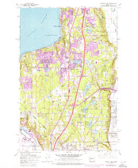
1961 Map of Poverty Bay
USGS Topo · Published 1976About this map
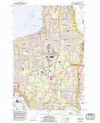
Federal Way serves as the central hub of this 1961 survey, illustrating a landscape in rapid transition as residential developments expand between the urban centers of Tacoma and Auburn. The coastal margin is defined by the bluffs of Poverty Bay and Puget Sound, where the established communities of Woodmont Beach, Redondo, and Lakota meet the water. A distinctive purple overprint from the mid-1970s reveals the dramatic suburban sprawl that filled in the wooded areas around Steel Lake and Mirror Lake.
Find a feature on this map
54 named features on this map. Tap any name to fly to it.
Don’t see what you’re looking for? This feature index may not catch every label — zoom into the map to look around manually.
Map Details
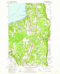
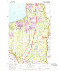
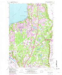
Editions of this 1961 Poverty Bay Map
5 editions found
Other maps of this area

1897 · Tacoma
USGS Topo · 1:125,000

1900 · Tacoma
USGS Topo · 1:125,000

1941 · Tacoma South
USGS Topo · 1:62,500

1942 · Lake Tapps
USGS Topo · 1:62,500

1944 · Lake Tapps
USGS Topo · 1:62,500

1944 · Tacoma South
USGS Topo · 1:62,500

1949 · Tacoma North
USGS Topo · 1:24,000

1949 · Poverty Bay
USGS Topo · 1:24,000

1949 · Renton
USGS Topo · 1:24,000
1949 · Des Moines
USGS Topo · 1:24,000