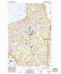
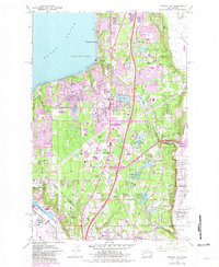
1961 Map of Poverty Bay
USGS Topo · Published 1995About this map
Federal Way emerges as a dense commercial and residential hub in this mid-century look at the corridor between Seattle and Tacoma. The landscape is defined by the rapid postwar transition from small coastal settlements like Adelaide and Redondo to a major suburban center, anchored by the sprawling Sea-Tac Mall and the developing City Center. This era of growth is marked by a proliferation of educational and recreational sites, from the King County Aquatic Center to numerous neighborhood schools such as Sacajawea Jr High Sch and Jefferson High Sch.
Find a feature on this map
90 named features on this map. Tap any name to fly to it.
Don’t see what you’re looking for? This feature index may not catch every label — zoom into the map to look around manually.
Map Details
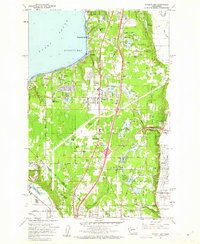
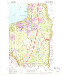
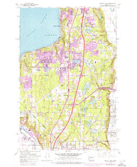
Editions of this 1961 Poverty Bay Map
5 editions found
Other maps of this area

1897 · Tacoma
USGS Topo · 1:125,000

1900 · Tacoma
USGS Topo · 1:125,000

1941 · Tacoma South
USGS Topo · 1:62,500

1942 · Lake Tapps
USGS Topo · 1:62,500

1944 · Lake Tapps
USGS Topo · 1:62,500

1944 · Tacoma South
USGS Topo · 1:62,500

1949 · Tacoma North
USGS Topo · 1:24,000

1949 · Poverty Bay
USGS Topo · 1:24,000

1949 · Renton
USGS Topo · 1:24,000
1949 · Des Moines
USGS Topo · 1:24,000