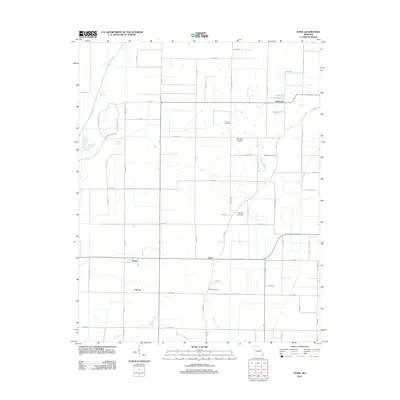
2011 Map of Powe
USGS Topo · Published 2011About this map
Pyletown and the surrounding lowland landscape of Stoddard County are defined by a sophisticated network of drainage ditches and conservation areas at the start of the 21st century. The terrain is marked by remnants of the region's original hydrology, including Lick Creek, Otter Slough, and Fish Slough, now integrated into a grid of county roads and agricultural plots. For family historians, this map provides a precise record of rural community centers, preserving the locations of several local burial grounds such as Summer Cemetery, Sycamore Cemetery, and Mills Cemetery. The transition from earlier rail-era settlements to modern rural clusters is visible in the placement of Powe, Cyrus, and Shreve, which sit along the intersection of primary routes like Highway ZZ and various field roads that anchor this Missouri Bootheel landscape.
Find a feature on this map
50 named features on this map. Tap any name to fly to it.
Don’t see what you’re looking for? This feature index may not catch every label — zoom into the map to look around manually.
Map Details
Editions of this 2011 Powe Map
This is the sole edition of this map. No revisions or reprints were ever made.
Other maps of this area

1934 · Bloomfield
USGS Topo · 1:62,500

1934 · Puxico
USGS Topo · 1:62,500

1939 · Bloomfield
USGS Topo · 1:62,500

1939 · Puxico
USGS Topo · 1:62,500

1940 · Malden
USGS Topo · 1:62,500

1940 · Valley Ridge
USGS Topo · 1:62,500

1949 · Bloomfield
USGS Topo · 1:62,500

1956 · Valley Ridge
USGS Topo · 1:62,500

1956 · Malden
USGS Topo · 1:62,500

1956 · Dyersburg
USGS Topo · 1:250,000