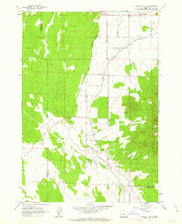
1962 Map of Powell Butte
USGS Topo · Published 1963About this map
The Powell Buttes define this central Oregon landscape, where the high desert meets early 1960s agricultural development. Settlement is centered near the Powell Butte community and its Community Hall, with a network of local thoroughfares including Kissler Road, Riggs Road, and Alfalfa Road connecting scattered ranch sites. The map reveals the critical importance of water management in this arid region, detailing the route of the Central Oregon Canal as it traverses the plains north of the buttes. To the south, the terrain becomes more complex as the Dry River bed winds through the valley, passing near Shumway Lake. This 1962 field check documents the sophisticated irrigation infrastructure of the era, specifically identifying a Siphon and Flume used to move water across the uneven topography of the Crook and Deschutes county line.
Find a feature on this map
21 named features on this map. Tap any name to fly to it.
Don’t see what you’re looking for? This feature index may not catch every label — zoom into the map to look around manually.
Map Details
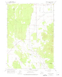
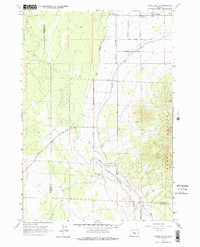
Editions of this 1962 Powell Butte Map
3 editions found
Other maps of this area

1926 · Bend
USGS Topo · 1:125,000

1929 · Bend
USGS Topo · 1:125,000

1955 · Bend
USGS Topo · 1:250,000

1957 · Bend
USGS Topo · 1:250,000

1958 · Bend
USGS Topo · 1:250,000

1961 · Redmond
USGS Topo · 1:24,000

1962 · Forked Horn Butte
USGS Topo · 1:24,000

1962 · Oneil
USGS Topo · 1:24,000
1962 · Bend Airport
USGS Topo · 1:24,000

1962 · Huston Lake
USGS Topo · 1:24,000