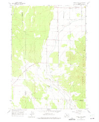
1962 Map of Powell Butte
USGS Topo · Published 1975About this map
The settlement of Powell Butte anchors the northern boundary of this high-desert landscape in central Oregon, sitting just below the high peaks of the Powell Buttes. The geography here is defined by the contrast between irrigation and natural aridity, evidenced by the Central Oregon Canal cutting through a terrain marked by the seasonal Dry River. At the time of this 1962 field check, the community center of the area is highlighted by the Community Hall, while the surrounding basin shows the influence of early ranching and water management with features like Shumway Lake and various Springs. The road network, including the Powell Butte Highway and Shumway Road, illustrates the late mid-century settlement pattern along the border of Deschutes and Crook Counties.
Find a feature on this map
17 named features on this map. Tap any name to fly to it.
Don’t see what you’re looking for? This feature index may not catch every label — zoom into the map to look around manually.
Map Details
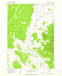
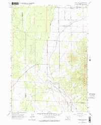
Editions of this 1962 Powell Butte Map
3 editions found
Other maps of this area

1926 · Bend
USGS Topo · 1:125,000

1929 · Bend
USGS Topo · 1:125,000

1955 · Bend
USGS Topo · 1:250,000

1957 · Bend
USGS Topo · 1:250,000

1958 · Bend
USGS Topo · 1:250,000

1961 · Redmond
USGS Topo · 1:24,000

1962 · Forked Horn Butte
USGS Topo · 1:24,000

1962 · Oneil
USGS Topo · 1:24,000
1962 · Bend Airport
USGS Topo · 1:24,000

1962 · Huston Lake
USGS Topo · 1:24,000