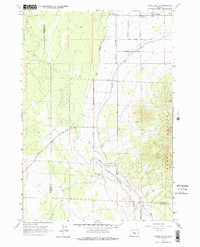
1962 Map of Powell Butte
USGS Topo · Published 1975About this map
The Powell Buttes dominate the southeastern landscape of this High Desert region, where the high country meets the complex irrigation networks of the early 1960s. The settlement of Powell Butte serves as a central hub, while agricultural infrastructure like the Central Oregon Canal, the Alfalfa Siphon, and several flumes illustrate the effort to move water across the arid terrain. The path of the Dry River cuts through the center of the sheet, providing a natural geological contrast to the straight-line human engineering of the Powell Butte Highway and Johnson Market Road. Local community life is anchored at the Community Hall in the north, while the presence of Shrumway Lake and Picket Spring indicates critical water sources for both livestock and the small ranching outposts connected by a network of unimproved roads and jeep trails.
Find a feature on this map
20 named features on this map. Tap any name to fly to it.
Don’t see what you’re looking for? This feature index may not catch every label — zoom into the map to look around manually.
Map Details
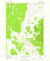
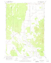
Editions of this 1962 Powell Butte Map
3 editions found
Other maps of this area

1926 · Bend
USGS Topo · 1:125,000

1929 · Bend
USGS Topo · 1:125,000

1955 · Bend
USGS Topo · 1:250,000

1957 · Bend
USGS Topo · 1:250,000

1958 · Bend
USGS Topo · 1:250,000

1961 · Redmond
USGS Topo · 1:24,000

1962 · Forked Horn Butte
USGS Topo · 1:24,000

1962 · Oneil
USGS Topo · 1:24,000
1962 · Bend Airport
USGS Topo · 1:24,000

1962 · Huston Lake
USGS Topo · 1:24,000