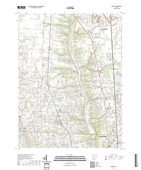
2023 Map of Powell
USGS Topo · Published 2023About this map
The Olentangy River serves as the central corridor for this part of Ohio, cutting through a landscape increasingly defined by the suburban expansion of Columbus. The map documents the spatial relationship between older rural settlements like Hyatts and Gregory and the burgeoning residential developments surrounding Powell. To the east, Lewis Center and Orange sit along the Columbus Pike, an area where contemporary infrastructure overlays the older agricultural grid.
Find a feature on this map
49 named features on this map. Tap any name to fly to it.
Don’t see what you’re looking for? This feature index may not catch every label — zoom into the map to look around manually.
Map Details
Editions of this 2023 Powell Map
This is the sole edition of this map. No revisions or reprints were ever made.
Other maps of this area

1901 · Dublin
USGS Topo · 1:62,500

1902 · Westerville
USGS Topo · 1:62,500

1903 · Dublin
USGS Topo · 1:62,500

1904 · Westerville
USGS Topo · 1:62,500

1915 · Marengo
USGS Topo · 1:62,500

1924 · Delaware
USGS Topo · 1:62,500

1925 · Delaware
USGS Topo · 1:62,500

1943 · Marengo
USGS Topo · 1:62,500

1944 · Delaware
USGS Topo · 1:62,500

1950 · Marion
USGS Topo · 1:250,000