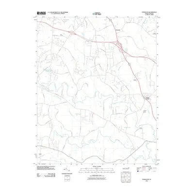
2010 Map of Powhatan
USGS Topo · Published 2010About this map
Powhatan and the surrounding Johnston County landscape are defined by a complex network of waterways and low-lying wetlands as they appeared in 2010. The territory is drained by several significant watercourses, including Swift Creek, Middle Creek, and Little Creek, which converge toward the Neuse River in the southeast. This survey captures a mix of rural residential development and agricultural land, where names like Whitley Heights and small family burial grounds such as Poole Cemetery and Langdon Cemetery dot the countryside.
Find a feature on this map
64 named features on this map. Tap any name to fly to it.
Don’t see what you’re looking for? This feature index may not catch every label — zoom into the map to look around manually.
Map Details
Editions of this 2010 Powhatan Map
This is the sole edition of this map. No revisions or reprints were ever made.
Other maps of this area

1906 · Four Oaks
USGS Topo · 1:48,000

1908 · Four Oaks
USGS Topo · 1:62,500

1953 · Raleigh
USGS Topo · 1:250,000

1954 · Raleigh
USGS Topo · 1:250,000

1964 · Garner
USGS Topo · 1:24,000

1964 · Flowers
USGS Topo · 1:24,000

1964 · Selma
USGS Topo · 1:62,500

1964 · Clayton
USGS Topo · 1:24,000

1964 · Edmondson
USGS Topo · 1:24,000

1964 · Garner
USGS Topo · 1:62,500