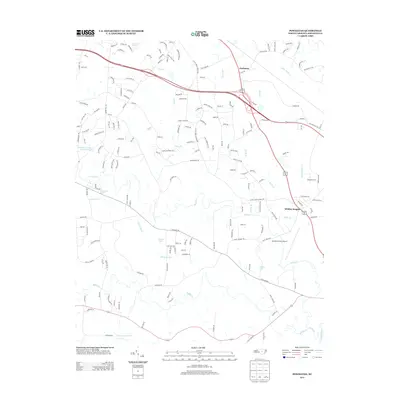
2013 Map of Powhatan
USGS Topo · Published 2013About this map
Johnston County Airport sits at the heart of this landscape in the early 2010s, surrounded by a complex network of residential developments and agricultural land in Johnston County. The map details the transition from rural acreage to suburban sprawl, with settlements like Powhatan and Whitley Heights serving as focal points for local growth. The hydrology of the region is a defining characteristic, with the Neuse River clipping the southeastern corner and the expansive Sassarixa Swamp marking the low-lying terrain to the south. Numerous small tributaries, including Swift Cr, Middle Cr, and the appropriately named Steep Hill Br, drain the area into several larger water bodies such as Panther Lake and Powell Lake. This survey provides an excellent record of modern road naming and property division, from established routes like Corbett Rd to newer residential lanes near the Johnson County Wildlife Pond.
Find a feature on this map
166 named features on this map. Tap any name to fly to it.
Don’t see what you’re looking for? This feature index may not catch every label — zoom into the map to look around manually.
Map Details
Editions of this 2013 Powhatan Map
This is the sole edition of this map. No revisions or reprints were ever made.
Other maps of this area

1906 · Four Oaks
USGS Topo · 1:48,000

1908 · Four Oaks
USGS Topo · 1:62,500

1953 · Raleigh
USGS Topo · 1:250,000

1954 · Raleigh
USGS Topo · 1:250,000

1964 · Garner
USGS Topo · 1:24,000

1964 · Flowers
USGS Topo · 1:24,000

1964 · Selma
USGS Topo · 1:62,500

1964 · Clayton
USGS Topo · 1:24,000

1964 · Edmondson
USGS Topo · 1:24,000

1964 · Garner
USGS Topo · 1:62,500