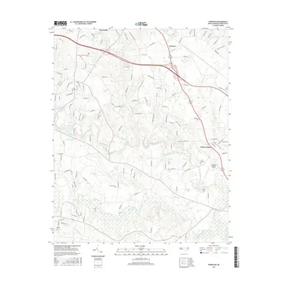
2016 Map of Powhatan
USGS Topo · Published 2016About this map
Clayton and the surrounding Johnston County countryside are captured here in a period of suburban expansion and industrial infrastructure. The landscape is defined by the drainage basins of Swift Creek and Middle Creek, which carve through the terrain alongside numerous named tributaries like Reedy Br and Steep Hill Br. Evidence of long-standing rural communities remains visible through a network of family and community burial grounds, including Poole Cem, Oakey Grove Cem, and Barham Cem.
Find a feature on this map
131 named features on this map. Tap any name to fly to it.
Don’t see what you’re looking for? This feature index may not catch every label — zoom into the map to look around manually.
Map Details
Editions of this 2016 Powhatan Map
This is the sole edition of this map. No revisions or reprints were ever made.
Other maps of this area

1906 · Four Oaks
USGS Topo · 1:48,000

1908 · Four Oaks
USGS Topo · 1:62,500

1953 · Raleigh
USGS Topo · 1:250,000

1954 · Raleigh
USGS Topo · 1:250,000

1964 · Garner
USGS Topo · 1:24,000

1964 · Flowers
USGS Topo · 1:24,000

1964 · Selma
USGS Topo · 1:62,500

1964 · Clayton
USGS Topo · 1:24,000

1964 · Edmondson
USGS Topo · 1:24,000

1964 · Garner
USGS Topo · 1:62,500