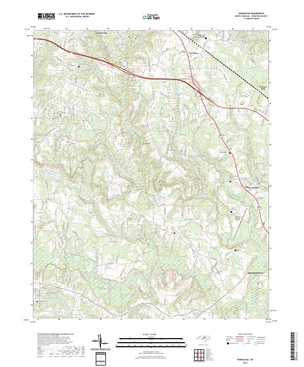
2022 Map of Powhatan
USGS Topo · Published 2022About this map
Swift Creek and its many tributaries, including Little Cr and Reedy Br, dominate the landscape of Johnston County between the growing hubs of Clayton and Smithfield. This corridor exhibits a complex drainage pattern where the waters of Middle Creek flow through the southern reaches near Sassafras Swamp. The infrastructure of the early 21st century is well-defined here, from the Johnston Regional Airport to the industrial presence of the Norfolk Southern railroad line cutting through Wilson's Mills.
Find a feature on this map
145 named features on this map. Tap any name to fly to it.
Don’t see what you’re looking for? This feature index may not catch every label — zoom into the map to look around manually.
Map Details
Editions of this 2022 Powhatan Map
This is the sole edition of this map. No revisions or reprints were ever made.
Other maps of this area

1906 · Four Oaks
USGS Topo · 1:48,000

1908 · Four Oaks
USGS Topo · 1:62,500

1953 · Raleigh
USGS Topo · 1:250,000

1954 · Raleigh
USGS Topo · 1:250,000

1964 · Garner
USGS Topo · 1:24,000

1964 · Flowers
USGS Topo · 1:24,000

1964 · Selma
USGS Topo · 1:62,500

1964 · Clayton
USGS Topo · 1:24,000

1964 · Edmondson
USGS Topo · 1:24,000

1964 · Garner
USGS Topo · 1:62,500