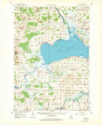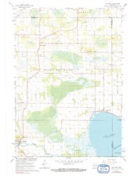
1961 Map of Poy Sippi
USGS Topo · Published 1991About this map
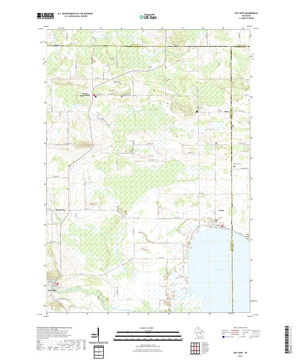
Lake Poygan dominates the southeastern corner of this quadrangle, where the Wolf River enters the lake near the settlement of Tustin. The landscape is a complex of wetlands and low-lying drainages, including Mosquito Creek and Alder Creek, which supported a patchwork of small agricultural communities during the mid-century. Genealogists will find a high density of small family and community sites, such as Prellwitz Cem, Concordia Cem, and several institutional landmarks like Emmaus Ch and St Johns Sch. The western edge of the survey captures the village of Poy Sippi along the Pine River. The prevalence of small gravel pits and localized schools like Christ Sch suggests a rural economy built on close-knit town centers like West Bloomfield and Metz, which served as the social and economic hubs for the surrounding farmsteads.
Find a feature on this map
37 named features on this map. Tap any name to fly to it.
Don’t see what you’re looking for? This feature index may not catch every label — zoom into the map to look around manually.
Map Details
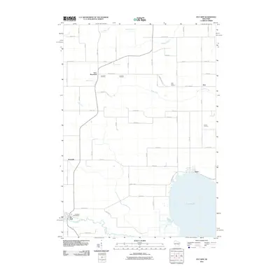
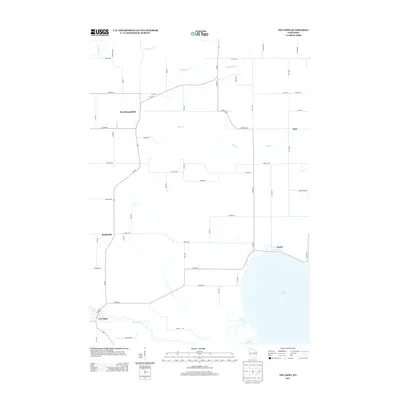
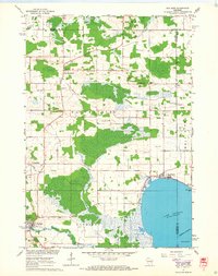
Editions of this 1961 Poy Sippi Map
2 editions found
Historical Maps of Fremont Through Time
7 maps found