Loading...
Loading map...2022 Map of Poynor
USGS Topo · Published 2022About this map
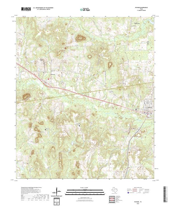
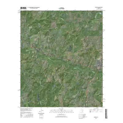
Poynor sits at the heart of this landscape where the undulating terrain of East Texas straddles the Henderson and Anderson County line. The map reveals a rural network of farm-to-market roads and county lanes connecting small settlements like Coffee City in the north and the larger town of Frankston in the southeast. Waterways such as Caddo Creek and Ledbetter Creek define the local drainage, feeding into numerous small ponds and wetland areas.
Find a feature on this map
86 named features on this map. Tap any name to fly to it.
Don’t see what you’re looking for? This feature index may not catch every label — zoom into the map to look around manually.
Map Details
Date Portrayed2022
Date Published2022
PublisherU.S. Geological Survey
Map TypeTopographic
Scale1:24,000
Physical Dimensions24 x 29 inches
Editions of this 2022 Poynor Map
This is the sole edition of this map. No revisions or reprints were ever made.
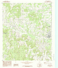
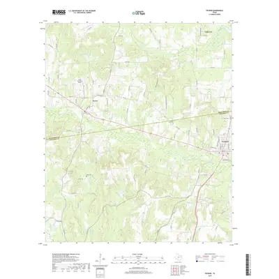
Historical Maps of Frankston Through Time
6 maps found
Featured Locations
Source Details
SourceU.S. Geological Survey
CopyrightPublic Domain