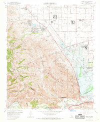
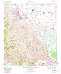
1967 Map of Prado Dam
USGS Topo · Published 1969About this map
Prado Dam anchors this landscape at the confluence of the Santa Ana River and Chino Creek, marking a critical juncture of water management and infrastructure in the late 1960s. The area is defined by massive state and educational facilities, including the California Institution for Men and the California Institution for Women (Frontera PO), alongside the unique community of Boys Republic.
Find a feature on this map
43 named features on this map. Tap any name to fly to it.
Don’t see what you’re looking for? This feature index may not catch every label — zoom into the map to look around manually.
Map Details
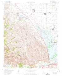
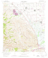
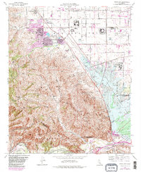
Editions of this 1967 Prado Dam Map
5 editions found
Other maps of this area

1894 · Pomona
USGS Topo · 1:62,500

1896 · Anaheim
USGS Topo · 1:62,500

1897 · Pomona
USGS Topo · 1:62,500

1897 · Cucamonga
USGS Topo · 1:62,500

1898 · Pomona
USGS Topo · 1:62,500

1898 · Anaheim
USGS Topo · 1:62,500

1900 · Cucamonga
USGS Topo · 1:62,500

1901 · Southern California Sheet No. 1
USGS Topo · 1:250,000

1901 · Anaheim
USGS Topo · 1:62,500

1902 · Corona
USGS Topo · 1:125,000