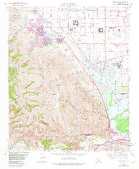
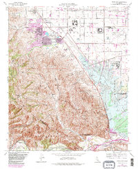
1967 Map of Prado Dam
USGS Topo · Published 1982About this map
California Institution for Men and the nearby Chino Airport occupy the flatlands of the Chino Basin in this late 1960s survey, updated with late 1970s land use. The map illustrates a landscape in transition, where the agricultural legacy of the McDermont Ranch and Rolling M Ranch meets suburban expansion in Los Serranos. The Prado Flood Control Basin dominates the southeast, capturing the confluence of Chino Creek and the Santa Ana River behind the engineered Prado Dam.
Find a feature on this map
50 named features on this map. Tap any name to fly to it.
Don’t see what you’re looking for? This feature index may not catch every label — zoom into the map to look around manually.
Map Details
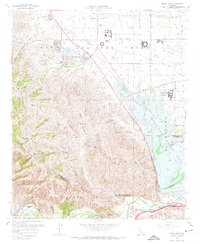
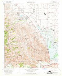
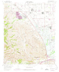
Editions of this 1967 Prado Dam Map
5 editions found
Other maps of this area

1894 · Pomona
USGS Topo · 1:62,500

1896 · Anaheim
USGS Topo · 1:62,500

1897 · Pomona
USGS Topo · 1:62,500

1897 · Cucamonga
USGS Topo · 1:62,500

1898 · Pomona
USGS Topo · 1:62,500

1898 · Anaheim
USGS Topo · 1:62,500

1900 · Cucamonga
USGS Topo · 1:62,500

1901 · Southern California Sheet No. 1
USGS Topo · 1:250,000

1901 · Anaheim
USGS Topo · 1:62,500

1902 · Corona
USGS Topo · 1:125,000