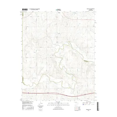
2016 Map of Prague NE
USGS Topo · Published 2016About this map
The town of Paden sits at the northern edge of this landscape, where the prairie begins to break toward the meandering course of the North Canadian River. This section of Okfuskee County is defined by the sharp contrast between the rectilinear grid of country roads like Garden Grove Rd and the erratic, swampy bends of the river valley. The map reveals a high density of small family and community burial grounds, including Shady Grove Cem, Chisholm Cem, and McCullah Cem, which serve as vital markers for local genealogical research. Hydrological features such as Flat Rock Spring and Paden Lake Number 1 indicate the area's historical reliance on localized water sources. The convergence of multiple county lines, including Lincoln, Seminole, and Pottawatomie, further highlights the area's significance as a borderland between central Oklahoma territories.
Find a feature on this map
37 named features on this map. Tap any name to fly to it.
Don’t see what you’re looking for? This feature index may not catch every label — zoom into the map to look around manually.
Map Details
Editions of this 2016 Prague NE Map
This is the sole edition of this map. No revisions or reprints were ever made.
Other maps of this area

1896 · Seminole and Prague
USGS Topo · 1:125,000

1900 · Wewoka
USGS Topo · 1:125,000

1901 · Nuyaka
USGS Topo · 1:125,000

1929 · Stroud
USGS Topo · 1:62,500

1932 · Stroud
USGS Topo · 1:62,500

1954 · Oklahoma City
USGS Topo · 1:250,000

1957 · Oklahoma City
USGS Topo · 1:250,000

1963 · Oklahoma City
USGS Topo · 1:250,000

1967 · Cromwell
USGS Topo · 1:24,000

1967 · Prague SW
USGS Topo · 1:24,000