Loading...
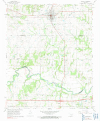
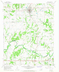
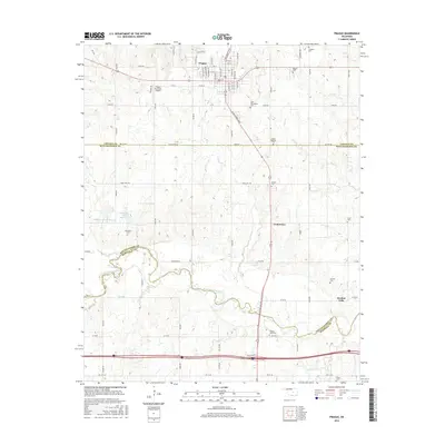
Loading map...1967 Map of Prague
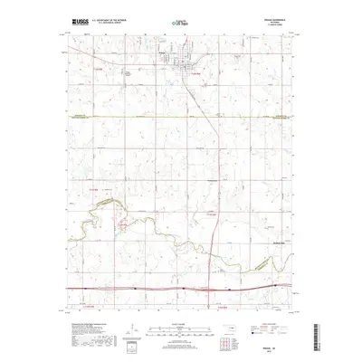
USGS Topo · Published 1991About this map
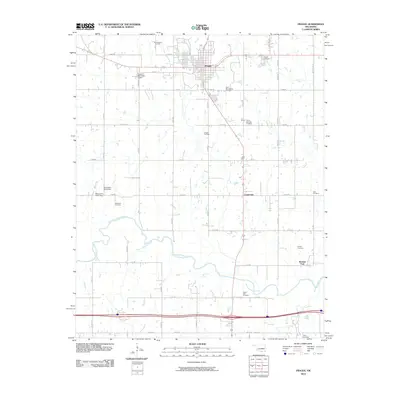
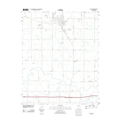
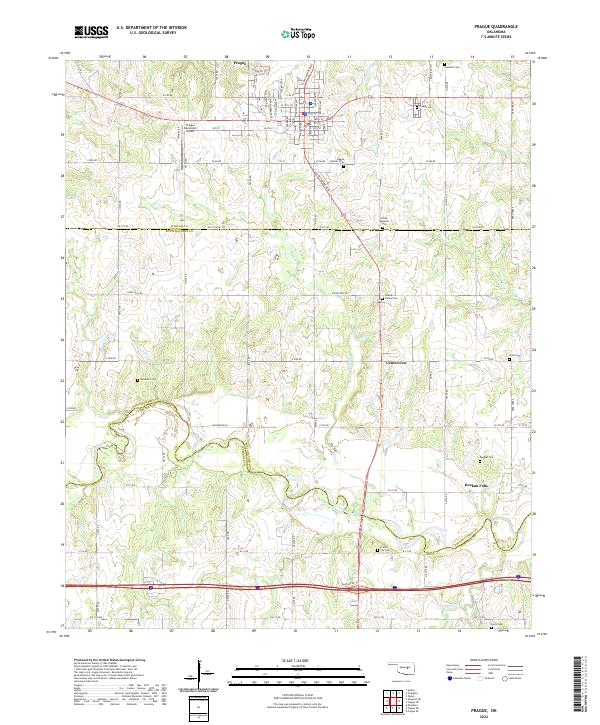
Prague serves as the focal point of this mid-century survey, reflecting its cultural heritage through the presence of the St Wenceslaus Cem and Czech National Cem. The town sits at a crossroads of the Railroad and local terrain units like South Seminole and South Creek, with the Prague Municipal Airport and a Drive-in Theater marking the edge of town.
Find a feature on this map
38 named features on this map. Tap any name to fly to it.
Don’t see what you’re looking for? This feature index may not catch every label — zoom into the map to look around manually.
Map Details
Date Portrayed1967
Date Published1991
PublisherU.S. Geological Survey
Map TypeTopographic
Scale1:24,000
Physical Dimensions22 x 26.6 inches
Editions of this 1967 Prague Map
2 editions found
Historical Maps of Prague Through Time
6 maps found
Featured Locations
Source Details
SourceU.S. Geological Survey
CopyrightPublic Domain