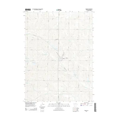
2014 Map of Prague
USGS Topo · Published 2014About this map
The village of Prague sits at the heart of this Saunders County landscape, its grid defined by local thoroughfares such as W Highway Ave, N Railway St, and N Moldau St. The surrounding countryside reveals a community deeply rooted in its heritage, evidenced by the presence of the Bohemian National Cem and Saint John Cem near the town center. To the north, the Willow Creek Cem stands along the rural roads that crisscross the agricultural uplands.
Find a feature on this map
37 named features on this map. Tap any name to fly to it.
Don’t see what you’re looking for? This feature index may not catch every label — zoom into the map to look around manually.
Map Details
Editions of this 2014 Prague Map
This is the sole edition of this map. No revisions or reprints were ever made.
Other maps of this area

1899 · Wahoo
USGS Topo · 1:125,000

1955 · Fremont
USGS Topo · 1:250,000

1957 · Fremont
USGS Topo · 1:250,000

1958 · Fremont
USGS Topo · 1:250,000

1968 · Bruno
USGS Topo · 1:24,000
1968 · Malmo NW
USGS Topo · 1:24,000
1968 · North Bend
USGS Topo · 1:24,000
1968 · Rogers
USGS Topo · 1:24,000
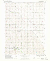
1969 · Malmo
USGS Topo · 1:24,000
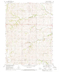
1969 · Touhy
USGS Topo · 1:24,000