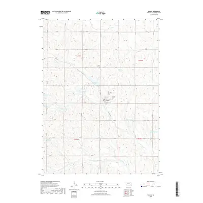
2017 Map of Prague
USGS Topo · Published 2017About this map
Prague serves as the central hub of this rural Saunders County landscape, surrounded by an intricate network of section-line roads and watershed management features. The village is home to the Bohemian National Cem and Saint John Cem, reflecting the cultural heritage of the area's early settlers. This 2017 survey reveals a terrain defined by modern flood control and recreation, most notably Czechland Lake and a series of specialized catchments like Cottonwood Creek Reservoir 6-B and Koranda Reservoir. The drainage patterns of N Fork Wahoo Cr and Cottonwood Cr provide the topography for these numerous reservoirs. Transportation follows the traditional Midwestern grid with Highway Ave and Rail Road Ave anchoring the local village infrastructure, while the surrounding farmland is neatly partitioned by the township and range lines of t16n r5e and its neighbors.
Find a feature on this map
45 named features on this map. Tap any name to fly to it.
Don’t see what you’re looking for? This feature index may not catch every label — zoom into the map to look around manually.
Map Details
Editions of this 2017 Prague Map
This is the sole edition of this map. No revisions or reprints were ever made.
Other maps of this area

1899 · Wahoo
USGS Topo · 1:125,000

1955 · Fremont
USGS Topo · 1:250,000

1957 · Fremont
USGS Topo · 1:250,000

1958 · Fremont
USGS Topo · 1:250,000

1968 · Bruno
USGS Topo · 1:24,000
1968 · Malmo NW
USGS Topo · 1:24,000
1968 · North Bend
USGS Topo · 1:24,000
1968 · Rogers
USGS Topo · 1:24,000
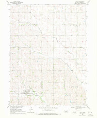
1969 · Malmo
USGS Topo · 1:24,000
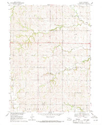
1969 · Touhy
USGS Topo · 1:24,000