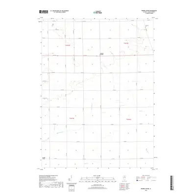
2018 Map of Prairie Center
USGS Topo · Published 2018About this map
Prairie Center serves as the focal point of this agricultural landscape in LaSalle County, where a rigid grid of rural roads defines the movement of modern farming operations. The terrain is subtly carved by a network of drainage ways, most notably Buck Cr and Pecumsaugan Cr, which meander across the township lines of t35n r2e and t34n r2e. These waterways create the only significant breaks in the geometric precision of the fields, often sheltering small groves or uncultivated buffers.
Find a feature on this map
32 named features on this map. Tap any name to fly to it.
Don’t see what you’re looking for? This feature index may not catch every label — zoom into the map to look around manually.
Map Details
Editions of this 2018 Prairie Center Map
This is the sole edition of this map. No revisions or reprints were ever made.
Other maps of this area

1892 · Ottawa
USGS Topo · 1:62,500

1893 · Lasalle
USGS Topo · 1:62,500

1911 · La Salle
USGS Topo · 1:62,500

1913 · La Salle
USGS Topo · 1:62,500

1915 · Ottawa
USGS Topo · 1:62,500

1946 · Ottawa
USGS Topo · 1:62,500

1947 · La Salle
USGS Topo · 1:62,500

1951 · Earlville
USGS Topo · 1:62,500

1952 · Mendota
USGS Topo · 1:62,500

1958 · Aurora
USGS Topo · 1:250,000