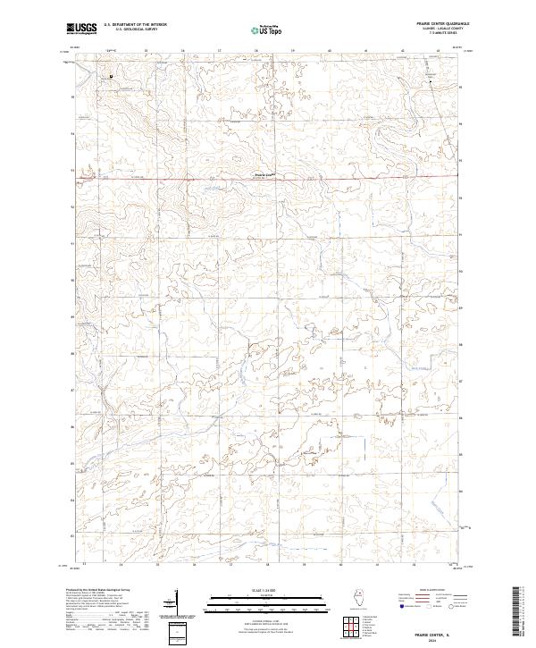
2024 Map of Prairie Center
USGS Topo · Published 2024About this map
Prairie Center serves as the focal point for this rural LaSalle County landscape, where an orderly grid of country roads facilitates agriculture across the Illinois plains. The settlement is positioned along N 37th Rd, surrounded by a network of waterways that cut through the terrain. To the north, Buck Creek winds through the fields, while the southern reaches are drained by Pecumsaugan Creek, Goose Creek, and Clark Run.
Find a feature on this map
26 named features on this map. Tap any name to fly to it.
Don’t see what you’re looking for? This feature index may not catch every label — zoom into the map to look around manually.
Map Details
Editions of this 2024 Prairie Center Map
This is the sole edition of this map. No revisions or reprints were ever made.
Other maps of this area

1892 · Ottawa
USGS Topo · 1:62,500

1893 · Lasalle
USGS Topo · 1:62,500

1911 · La Salle
USGS Topo · 1:62,500

1913 · La Salle
USGS Topo · 1:62,500

1915 · Ottawa
USGS Topo · 1:62,500

1946 · Ottawa
USGS Topo · 1:62,500

1947 · La Salle
USGS Topo · 1:62,500

1951 · Earlville
USGS Topo · 1:62,500

1952 · Mendota
USGS Topo · 1:62,500

1958 · Aurora
USGS Topo · 1:250,000