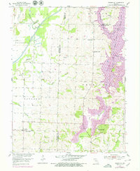
1953 Map of Prairie Hill
USGS Topo · Published 1979About this map
Prairie Hill and the surrounding rural landscape of Chariton and Randolph Counties are depicted here during a period of significant industrial and hydrological transformation. The map captures the extensive footprint of a Strip Mine operations and the creation of the Thomas Hill Reservoir on the Little Chariton River Middle Fork. This intersection of coal extraction and water management reshaped the local environment, appearing alongside long-established rural landmarks like the Powerplant and Substation.
Find a feature on this map
29 named features on this map. Tap any name to fly to it.
Don’t see what you’re looking for? This feature index may not catch every label — zoom into the map to look around manually.
Map Details
Editions of this 1953 Prairie Hill Map
2 editions found
Other maps of this area

1890 · Glasgow
USGS Topo · 1:125,000

1953 · Moberly
USGS Topo · 1:250,000

1953 · Huntsville
USGS Topo · 1:24,000

1953 · Bevier South
USGS Topo · 1:24,000

1953 · College Mound
USGS Topo · 1:24,000

1953 · Clifton Hill
USGS Topo · 1:24,000

1953 · Prairie Hill
USGS Topo · 1:24,000

1953 · Lagonda
USGS Topo · 1:24,000

1953 · Wien
USGS Topo · 1:24,000

1953 · Bynumville
USGS Topo · 1:24,000