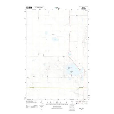
2013 Map of Prairie Lake
USGS Topo · Published 2013About this map
Superior National Forest boundaries reach into this 2013 survey of the borderlands between St. Louis and Carlton Counties. The landscape is dominated by a complex network of glacial water bodies, including the centrally located Prairie Lake, Meander Lake, and the winding Prairie River. Local road networks like Graff Rd, Halden Rd, and MN-73 connect scattered rural residences and family-named landmarks. For genealogists, the map identifies specific burial sites such as Prairie Lake Cem and Fine Lakes Cem, providing essential coordinates for local history research. Smaller water features like Leeman Lake and Moberg Lake are tucked into the terrain, reflecting the wetland character of this northern Minnesota region.
Find a feature on this map
34 named features on this map. Tap any name to fly to it.
Don’t see what you’re looking for? This feature index may not catch every label — zoom into the map to look around manually.
Map Details
Editions of this 2013 Prairie Lake Map
This is the sole edition of this map. No revisions or reprints were ever made.
Other maps of this area

1953 · Duluth
USGS Topo · 1:250,000

1958 · Duluth
USGS Topo · 1:250,000

1961 · Cromwell
USGS Topo · 1:62,500

1963 · Gowan
USGS Topo · 1:24,000

1963 · Prairie Lake
USGS Topo · 1:24,000
1963 · Mc Carty River
USGS Topo · 1:24,000
1963 · Floodwood
USGS Topo · 1:24,000

1969 · Island
USGS Topo · 1:24,000

1970 · Little Prairie Lake
USGS Topo · 1:24,000

1970 · Wright
USGS Topo · 1:24,000