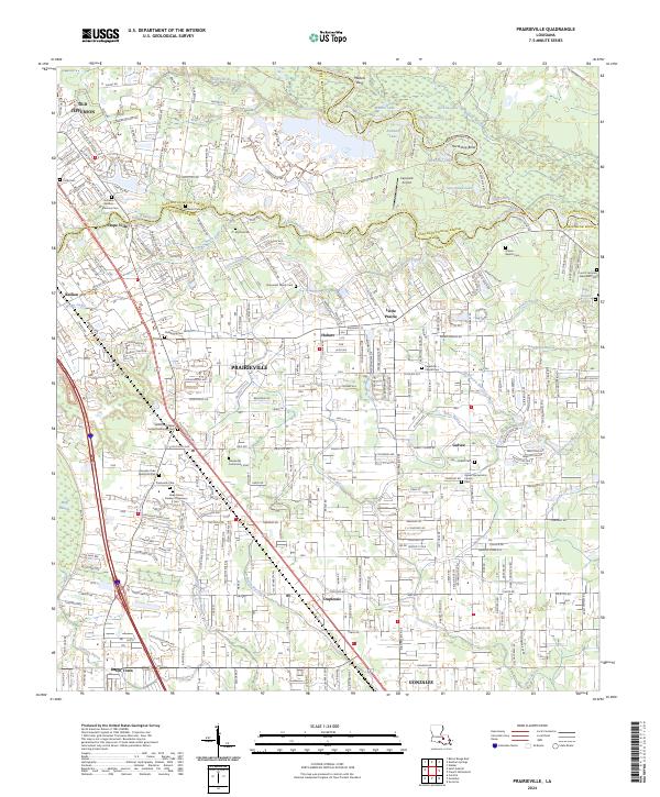
2024 Map of Prairieville
USGS Topo · Published 2024About this map
Prairieville serves as a central hub in this modern landscape where the borders of East Baton Rouge, Ascension, and Livingston Parishes converge. The area is defined by a dense network of waterways including the winding Amite River and Bayou Manchac, which historically served as vital transport and boundary markers. The map reveals a complex arrangement of modern residential expansion alongside established local landmarks like the Capozzoli Airport and Mallets Bluff.
Find a feature on this map
216 named features on this map. Tap any name to fly to it.
Don’t see what you’re looking for? This feature index may not catch every label — zoom into the map to look around manually.
Map Details
Editions of this 2024 Prairieville Map
This is the sole edition of this map. No revisions or reprints were ever made.
Other maps of this area

1892 · Donaldsonville
USGS Topo · 1:62,500

1908 · Baton Rouge
USGS Topo · 1:62,500

1934 · Denham Springs
USGS Topo · 1:62,500

1935 · Gonzales
USGS Topo · 1:31,680

1936 · White Castle
USGS Topo · 1:62,500

1939 · Denham Springs
USGS Topo · 1:62,500

1939 · Baton Rouge
USGS Topo · 1:62,500

1939 · Donaldsonville
USGS Topo · 1:62,500

1947 · Sorrento
USGS Topo · 1:31,680

1953 · Walker
USGS Topo · 1:24,000