
1894 Map of Pratt
USGS Topo · Published 1894About this map
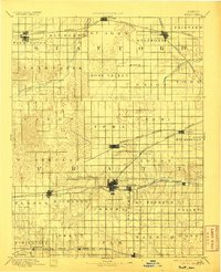
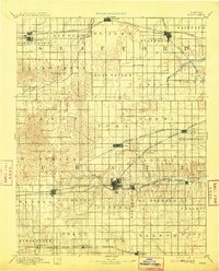
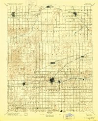
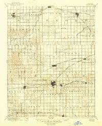
Pratt and St. John serve as the primary hubs in this late 19th-century survey of south-central Kansas, an area defined by its emerging rail network. Four major lines, including the Atchison Topeka and Santa Fe Railroad and the Chicago Kansas and Nebraska Railroad, crisscross the landscape, dictating the placement of settlements like Stafford, Cullison, and Preston. The map illustrates the transition from a river-dependent frontier to a rail-connected agricultural region, with the Ninnescah River and Rattlesnake Creek winding through a grid of established townships. Detailed topography shows the undulating plains around Iuka and Saratoga as they appeared just before the turn of the century. The survey reveals a landscape of organized growth, where named townships like Rose Valley and York represent the early administrative divisions of the prairie.
Find a feature on this map
49 named features on this map. Tap any name to fly to it.
Don’t see what you’re looking for? This feature index may not catch every label — zoom into the map to look around manually.
Map Details
Editions of this 1894 Pratt Map
5 editions found
Other maps of this area

1889 · Anthony
USGS Topo · 1:125,000

1889 · Larned
USGS Topo · 1:125,000

1889 · Kinsley
USGS Topo · 1:125,000

1891 · Great Bend
USGS Topo · 1:125,000

1891 · Medicine Lodge
USGS Topo · 1:125,000

1891 · Larned
USGS Topo · 1:125,000

1891 · Anthony
USGS Topo · 1:125,000

1892 · Kinsley
USGS Topo · 1:125,000

1892 · Kingman
USGS Topo · 1:125,000

1892 · Coldwater
USGS Topo · 1:125,000