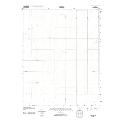
2009 Map of Pratt SE
USGS Topo · Published 2009About this map
Chitwood Oil Field dominates the northwest corner of this Pratt County landscape, illustrating the region's mid-century petroleum development. The map reveals a strictly organized rural grid system, where roads like SE 100th Ave and SE 30th St divide the prairie into uniform sections. This geometric order is only interrupted by the natural, meandering paths of Coon Creek in the north and Painter Creek through the center. These watercourses provide a contrast to the man-made infrastructure, following the gentle drainage patterns of the Kansas plains. This survey serves as a clear record of land use in the early 21st century, showing a territory where industrial extraction and agricultural land management coexist within a precise surveyor's framework.
Find a feature on this map
16 named features on this map. Tap any name to fly to it.
Don’t see what you’re looking for? This feature index may not catch every label — zoom into the map to look around manually.
Map Details
Editions of this 2009 Pratt SE Map
This is the sole edition of this map. No revisions or reprints were ever made.
Other maps of this area

1889 · Anthony
USGS Topo · 1:125,000

1891 · Medicine Lodge
USGS Topo · 1:125,000

1891 · Anthony
USGS Topo · 1:125,000

1892 · Kingman
USGS Topo · 1:125,000

1892 · Pratt
USGS Topo · 1:125,000

1893 · Medicine Lodge
USGS Topo · 1:125,000

1894 · Kingman
USGS Topo · 1:125,000

1894 · Pratt
USGS Topo · 1:125,000

1955 · Pratt
USGS Topo · 1:250,000

1959 · Pratt
USGS Topo · 1:250,000