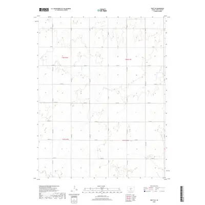
2018 Map of Pratt SE
USGS Topo · Published 2018About this map
Coon Cr and the many branches of Painter Cr carve a network of drainage patterns across this section of southern Kansas. The landscape is defined by the Public Land Survey System, with the intersections of t28s r12w and t28s r11w marking the transition between townships. A rigid grid of county roads, including Co Rd O and Co Rd P, follows these section lines, illustrating the systematic agricultural organization of Pratt County. While primarily a rural expanse of open land, the map records the precise layout of local transit routes such as Se 110th Ave and Se 40th St as they existed in the late 2010s. The topography consists of subtle elevation changes that guide the seasonal flow of the creeks through the plains.
Find a feature on this map
27 named features on this map. Tap any name to fly to it.
Don’t see what you’re looking for? This feature index may not catch every label — zoom into the map to look around manually.
Map Details
Editions of this 2018 Pratt SE Map
This is the sole edition of this map. No revisions or reprints were ever made.
Other maps of this area

1889 · Anthony
USGS Topo · 1:125,000

1891 · Medicine Lodge
USGS Topo · 1:125,000

1891 · Anthony
USGS Topo · 1:125,000

1892 · Kingman
USGS Topo · 1:125,000

1892 · Pratt
USGS Topo · 1:125,000

1893 · Medicine Lodge
USGS Topo · 1:125,000

1894 · Kingman
USGS Topo · 1:125,000

1894 · Pratt
USGS Topo · 1:125,000

1955 · Pratt
USGS Topo · 1:250,000

1959 · Pratt
USGS Topo · 1:250,000