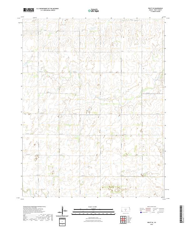
2022 Map of Pratt SE
USGS Topo · Published 2022About this map
Painter Cr and its various tributaries meander through the rural landscape south of the city of Pratt, carving subtle drainage patterns across the agricultural terrain. This area of Pratt County is defined by a rigorous section-line road grid, where routes like Co Rd O and Se 130th Ave serve as the primary conduits for local travel and farm access. The hydrography, including Coon Cr in the northern reaches and Sand Cr near the southern border, reveals the natural water flow that has influenced land use and the placement of country roads for generations. The township and range boundaries of t28s r12w and t28s r11w anchor the map, illustrating the enduring legacy of the Public Land Survey System in organizing this Kansas prairie landscape.
Find a feature on this map
28 named features on this map. Tap any name to fly to it.
Don’t see what you’re looking for? This feature index may not catch every label — zoom into the map to look around manually.
Map Details
Editions of this 2022 Pratt SE Map
This is the sole edition of this map. No revisions or reprints were ever made.
Other maps of this area

1889 · Anthony
USGS Topo · 1:125,000

1891 · Medicine Lodge
USGS Topo · 1:125,000

1891 · Anthony
USGS Topo · 1:125,000

1892 · Kingman
USGS Topo · 1:125,000

1892 · Pratt
USGS Topo · 1:125,000

1893 · Medicine Lodge
USGS Topo · 1:125,000

1894 · Kingman
USGS Topo · 1:125,000

1894 · Pratt
USGS Topo · 1:125,000

1955 · Pratt
USGS Topo · 1:250,000

1959 · Pratt
USGS Topo · 1:250,000