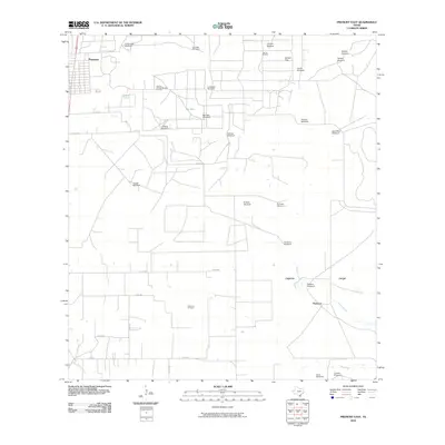
2010 Map of Premont East
USGS Topo · Published 2010About this map
Premont occupies the northwest corner of this South Texas landscape, where the town's grid meets an expansive network of ranching and petroleum infrastructure. The terrain is defined by its working character, punctuated by dozens of individual family and place-named windmills such as Cantarawas Windmill, La Mula Windmill, and La Salada Windmill that dot the pastures. These landmarks serve as vital water sources across the semi-arid brushland of Jensen Pasture and Alazan Pasture.
Find a feature on this map
37 named features on this map. Tap any name to fly to it.
Don’t see what you’re looking for? This feature index may not catch every label — zoom into the map to look around manually.
Map Details
Editions of this 2010 Premont East Map
This is the sole edition of this map. No revisions or reprints were ever made.
Other maps of this area

1921 · Falfurrias
USGS Topo · 1:125,000

1928 · Sarita
USGS Topo · 1:125,000

1950 · Corpus Christi
USGS Topo · 1:250,000

1954 · Sarita
USGS Topo · 1:62,500

1954 · Riviera
USGS Topo · 1:62,500

1956 · Corpus Christi
USGS Topo · 1:250,000

1956 · Laredo
USGS Topo · 1:250,000

1960 · Corpus Christi
USGS Topo · 1:250,000

1963 · Flowella
USGS Topo · 1:24,000

1963 · Premont West
USGS Topo · 1:24,000