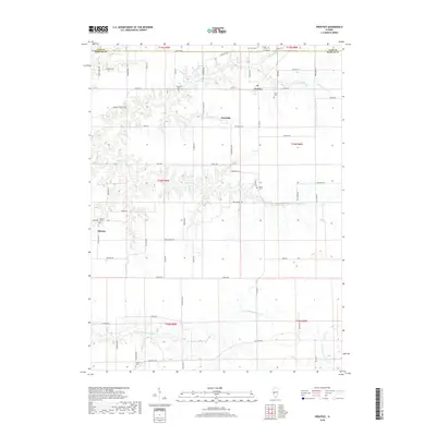
2018 Map of Prentice
USGS Topo · Published 2018About this map
Yatesville and Prentice anchor this rural landscape in Morgan County, where the topography is defined by the branching tributaries of Little Indian Cr and Indian Cr. The map reveals a deeply rooted agricultural community organized along the Public Land Survey System, with numerous family-named roads like Dinwiddie Rd and Stice Rd tracing the section lines. This area is notable for its high density of small burial grounds, including Yatesville Cem, Flinn Cem, and Berea Cem, which often represent the last remaining physical markers of nineteenth-century pioneer families in the Illinois prairie. In the southern portion, the N Fork Mauvaise Terre Cr meanders through more varied elevation near Antioch Cem, illustrating the transition from flat upland farms to the creek bottoms that once facilitated early settlement and movement across the county.
Find a feature on this map
70 named features on this map. Tap any name to fly to it.
Don’t see what you’re looking for? This feature index may not catch every label — zoom into the map to look around manually.
Map Details
Editions of this 2018 Prentice Map
This is the sole edition of this map. No revisions or reprints were ever made.
Other maps of this area

1909 · Tallula
USGS Topo · 1:62,500

1924 · Waverly
USGS Topo · 1:62,500

1926 · Waverly
USGS Topo · 1:62,500

1932 · Jacksonville
USGS Topo · 1:62,500

1932 · Virginia
USGS Topo · 1:62,500

1936 · Virginia
USGS Topo · 1:62,500

1937 · Jacksonville
USGS Topo · 1:62,500

1940 · Tallula
USGS Topo · 1:62,500

1948 · Quincy
USGS Topo · 1:250,000

1956 · Quincy
USGS Topo · 1:250,000