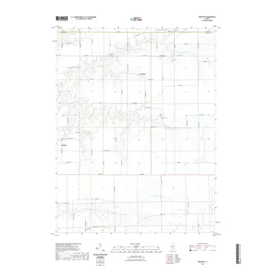
2021 Map of Prentice
USGS Topo · Published 2021About this map
The boundary between Cass and Morgan Counties bisects this agricultural landscape, where the prairie transitions into the drainage basins of several prominent local waterways. Small unincorporated communities like Prentice, Yatesville, and Sinclair serve as the primary hubs for a network of rural roads such as County Highway 19 and Literberry Prentice Road. The map reveals a high concentration of small burial grounds that mark the heritage of the region's early farming families, including Yatesville Cem, Crow Cem, Cooper Cem, and Flinn Cem. The terrain is defined by the branching tributaries of Little Indian Creek, Indian Creek, and the headwaters of the North Fork Mauvaise Terre Creek, which carve gentle valleys through the otherwise flat township and range grid system.
Find a feature on this map
66 named features on this map. Tap any name to fly to it.
Don’t see what you’re looking for? This feature index may not catch every label — zoom into the map to look around manually.
Map Details
Editions of this 2021 Prentice Map
This is the sole edition of this map. No revisions or reprints were ever made.
Other maps of this area

1909 · Tallula
USGS Topo · 1:62,500

1924 · Waverly
USGS Topo · 1:62,500

1926 · Waverly
USGS Topo · 1:62,500

1932 · Jacksonville
USGS Topo · 1:62,500

1932 · Virginia
USGS Topo · 1:62,500

1936 · Virginia
USGS Topo · 1:62,500

1937 · Jacksonville
USGS Topo · 1:62,500

1940 · Tallula
USGS Topo · 1:62,500

1948 · Quincy
USGS Topo · 1:250,000

1956 · Quincy
USGS Topo · 1:250,000