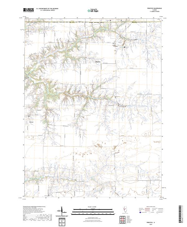
2024 Map of Prentice
USGS Topo · Published 2024About this map
Prentice and Sinclair serve as the primary nodes of settlement in this rural landscape straddling the line between Cass and Morgan Counties. The terrain is characterized by a series of drainage patterns and elevations that drop towards Cavanaugh Bluff in the west, while Wyatt Pond marks a distinct water feature to the north. For those tracing local heritage, the map is remarkably dense with burial sites and rural institutions, including Yatesville Cem, Berea Cem, Finn Cem, and Antioch Cem. The historical footprint of Yatesville is preserved through its namesake road and cemetery, even as the surrounding area remains dominated by a systematic grid of agricultural roads such as Beilschmidt Rd and Swain Rd. The presence of Hebron Ch near Sinclair further illustrates the enduring role of small community centers in this Illinois prairie region.
Find a feature on this map
54 named features on this map. Tap any name to fly to it.
Don’t see what you’re looking for? This feature index may not catch every label — zoom into the map to look around manually.
Map Details
Editions of this 2024 Prentice Map
This is the sole edition of this map. No revisions or reprints were ever made.
Other maps of this area

1909 · Tallula
USGS Topo · 1:62,500

1924 · Waverly
USGS Topo · 1:62,500

1926 · Waverly
USGS Topo · 1:62,500

1932 · Jacksonville
USGS Topo · 1:62,500

1932 · Virginia
USGS Topo · 1:62,500

1936 · Virginia
USGS Topo · 1:62,500

1937 · Jacksonville
USGS Topo · 1:62,500

1940 · Tallula
USGS Topo · 1:62,500

1948 · Quincy
USGS Topo · 1:250,000

1956 · Quincy
USGS Topo · 1:250,000