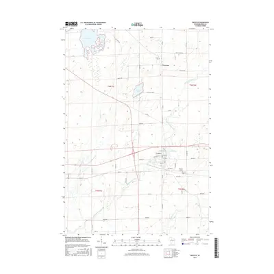
2015 Map of Prentice
USGS Topo · Published 2015About this map
South Fork Jump River meanders through this portion of Price County, defining the drainage patterns and historical development of the region. The village of Prentice serves as the central hub, situated near the Prentice Flowage and the Prentice Airport. This 2015 survey illustrates a landscape of managed forests and wetlands, characterized by features like Cranberry Lake and its associated marshes. Further north, the settlement of Worcester and nearby Worcester Lake represent the northern rural reach of this area. Genealogical interests are well-served by the presence of Prentice Cem and Hackett Cem, providing clear spatial context for local family histories. The dense network of rural roads, including Mail Route Rd and Emery-Hackett Rd, reveals the enduring grid of agricultural and timber lands typical of northern Wisconsin.
Find a feature on this map
52 named features on this map. Tap any name to fly to it.
Don’t see what you’re looking for? This feature index may not catch every label — zoom into the map to look around manually.
Map Details
Editions of this 2015 Prentice Map
This is the sole edition of this map. No revisions or reprints were ever made.
Other maps of this area

1941 · Phillips
USGS Topo · 1:48,000

1941 · Brantwood
USGS Topo · 1:48,000

1943 · Philliips
USGS Topo · 1:48,000

1943 · Brantwood
USGS Topo · 1:48,000

1944 · Ogema
USGS Topo · 1:48,000

1945 · Rib Lake
USGS Topo · 1:48,000

1947 · Rib Lake
USGS Topo · 1:48,000

1947 · Ogema
USGS Topo · 1:48,000

1949 · Ogema
USGS Topo · 1:48,000

1949 · Rib Lake
USGS Topo · 1:48,000