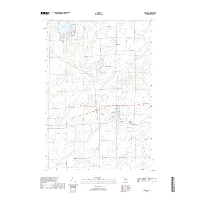
2018 Map of Prentice
USGS Topo · Published 2018About this map
The village of Prentice serves as a central hub in this Price County landscape, where the South Fork Jump River and Hay Creek wind through a complex of wetlands and small lakes. This 2018 survey documents a region defined by its water resources and aviation infrastructure, anchored by the Prentice Airport and the nearby Prentice Flowage 59. To the north, the small settlement of Worcester sits along the corridor of Co Rd K, surrounded by family-named landmarks such as Worcester Lake and the Hackett Cem.
Find a feature on this map
49 named features on this map. Tap any name to fly to it.
Don’t see what you’re looking for? This feature index may not catch every label — zoom into the map to look around manually.
Map Details
Editions of this 2018 Prentice Map
This is the sole edition of this map. No revisions or reprints were ever made.
Other maps of this area

1941 · Phillips
USGS Topo · 1:48,000

1941 · Brantwood
USGS Topo · 1:48,000

1943 · Philliips
USGS Topo · 1:48,000

1943 · Brantwood
USGS Topo · 1:48,000

1944 · Ogema
USGS Topo · 1:48,000

1945 · Rib Lake
USGS Topo · 1:48,000

1947 · Rib Lake
USGS Topo · 1:48,000

1947 · Ogema
USGS Topo · 1:48,000

1949 · Ogema
USGS Topo · 1:48,000

1949 · Rib Lake
USGS Topo · 1:48,000