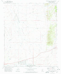
1973 Map of Prescott Valley North
USGS Topo · Published 1976About this map
The Agua Fria River cuts across the southern portion of this landscape, marking a transition from the wide, open expanse of Lonesome Valley to the more varied terrain of the Prescott National Forest in the northeast. The residential development of Prescott Valley is visible in its early stages along the southern edge, with a grid of streets including Laredo Drive and Mountain View Road beginning to define the local community. Historical land use and resource extraction are evident through features like the Old Hopkins Mine and several water-catchment tanks, such as Black Hill Tank and Nelson Tank, which were essential for ranching or mining operations in this arid environment. The presence of the Gila and Salt River Meridian provides a primary surveying reference point, underscoring the formal organization of these Arizona lands during the mid-20th century.
Find a feature on this map
23 named features on this map. Tap any name to fly to it.
Don’t see what you’re looking for? This feature index may not catch every label — zoom into the map to look around manually.
Map Details
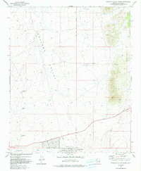
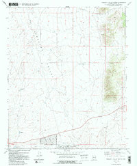
Editions of this 1973 Prescott Valley North Map
3 editions found
Other maps of this area

1887 · Prescott
USGS Topo · 1:250,000

1892 · Prescott
USGS Topo · 1:250,000

1905 · Jerome
USGS Topo · 1:125,000

1944 · Clarkdale
USGS Topo · 1:48,000

1944 · Mingus Mountain
USGS Topo · 1:62,500

1947 · Mingus Mtn
USGS Topo · 1:62,500

1947 · Paulden
USGS Topo · 1:62,500

1947 · Prescott
USGS Topo · 1:62,500

1948 · Prescott
USGS Topo · 1:62,500
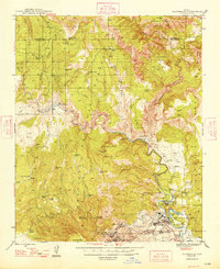
1948 · Clarkdale
USGS Topo · 1:62,500