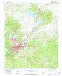
1973 Map of Prescott
USGS Topo · Published 1977About this map
Whipple Barracks and the sprawling Yavapai Indian Reservation dominate the central landscape of this early 1970s survey. The city of Prescott is shown in detail, showing the street grid from Gurley St to Whipple St, including civic landmarks like City Hall, the Fire Sta, and Sacred Heart Sch. To the north, the geography is defined by the boulders of the Granite Dells and the waters of Willow Creek Reservoir and Watson Lake, which serve as a stark contrast to the surrounding mountain terrain. Evidence of the local economy and community life is found in the Atchison Topeka and Santa Fe RR corridors, the Drive-in Theater, and the presence of both Prescott College and Yavapai College. The map also captures several residential pockets such as Miller Valley and Juniper Heights on the city's periphery.
Find a feature on this map
92 named features on this map. Tap any name to fly to it.
Don’t see what you’re looking for? This feature index may not catch every label — zoom into the map to look around manually.
Map Details
Editions of this 1973 Prescott Map
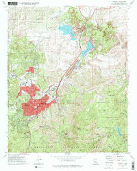
2 editions found
Other maps of this area

1887 · Prescott
USGS Topo · 1:250,000

1892 · Prescott
USGS Topo · 1:250,000

1903 · Bradshaw Mountains
USGS Topo · 1:125,000

1903 · Congress
USGS Topo · 1:125,000

1904 · Congress
USGS Topo · 1:125,000

1905 · Jerome
USGS Topo · 1:125,000

1947 · Iron Springs
USGS Topo · 1:62,500

1947 · Mt. Union
USGS Topo · 1:62,500

1947 · Kirkland
USGS Topo · 1:62,500

1947 · Prescott
USGS Topo · 1:62,500