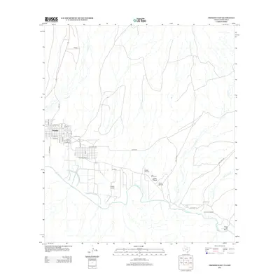
2012 Map of Presidio East
USGS Topo · Published 2012About this map
Presidio serves as the focal point for this borderlands survey, where the convergence of the Rio Grande and Cibolo Cr shapes the geography of the Chihuahuan desert. The map captures a moment in the modern expansion of the town, detailing residential streets like San Gabriel Ave and Park Valley Ave. Southeast of the town center, the land transitions from the grid of Presidio to the open arroyos and historical sites that define the river valley.
Find a feature on this map
38 named features on this map. Tap any name to fly to it.
Don’t see what you’re looking for? This feature index may not catch every label — zoom into the map to look around manually.
Map Details
Editions of this 2012 Presidio East Map
This is the sole edition of this map. No revisions or reprints were ever made.
Other maps of this area

1896 · Polvo
USGS Topo · 1:125,000

1896 · Shafter
USGS Topo · 1:125,000

1959 · Presidio
USGS Topo · 1:250,000

1965 · Presidio
USGS Topo · 1:250,000
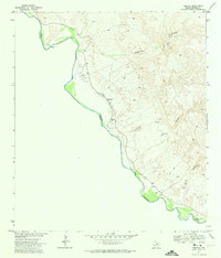
1971 · Redford
USGS Topo · 1:24,000

1978 · La Boquilla
USGS Topo · 1:24,000
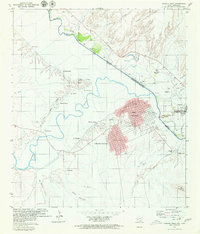
1979 · Presidio West
USGS Topo · 1:24,000

1979 · Presidio East
USGS Topo · 1:24,000

1980 · Arroyo Melado
USGS Topo · 1:24,000

1983 · Cerro Redondo
USGS Topo · 1:24,000