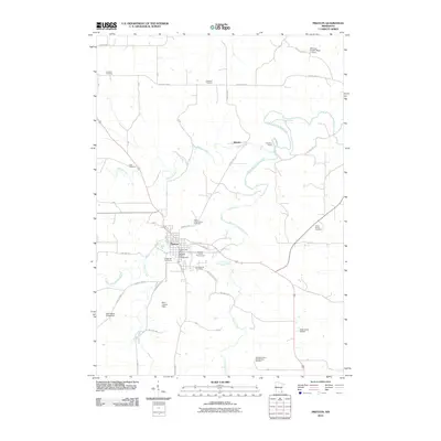
2010 Map of Preston
USGS Topo · Published 2010About this map
Preston serves as the hub of this southeastern Minnesota landscape, situated at the confluence of the South Branch Root River, Watson Creek, and Camp Creek. The settlement pattern is defined by the river’s winding course and a network of county highways that connect dispersed rural landmarks. Local history is deeply etched into the terrain through a high density of burial sites, including the Saint Columbanus Cemetery, Crown Hill Cemetery, and Greenwood Cemetery near the town center, along with the distant Richland Prairie Presbyterian Cemetery to the south.
Find a feature on this map
37 named features on this map. Tap any name to fly to it.
Don’t see what you’re looking for? This feature index may not catch every label — zoom into the map to look around manually.
Map Details
Editions of this 2010 Preston Map
This is the sole edition of this map. No revisions or reprints were ever made.
Other maps of this area

1954 · Chatfield
USGS Topo · 1:62,500

1954 · Lewiston
USGS Topo · 1:62,500

1954 · Mason City
USGS Topo · 1:250,000

1957 · Mason City
USGS Topo · 1:250,000

1958 · Mason City
USGS Topo · 1:250,000

1958 · La Crosse
USGS Topo · 1:250,000

1961 · La Crosse
USGS Topo · 1:250,000

1965 · La Crosse
USGS Topo · 1:250,000

1965 · Greenleafton
USGS Topo · 1:24,000

1965 · Harmony
USGS Topo · 1:24,000