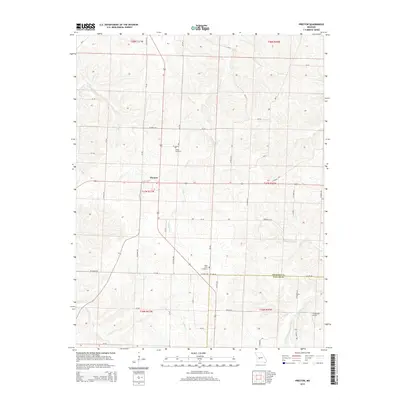
2015 Map of Preston
USGS Topo · Published 2015About this map
The community of Preston serves as the central hub of this Missouri landscape, situated at the junction of several county routes and local roads. This 2015 survey illustrates a rural environment defined by its waterways, most notably Starks Cr and Mill Cr which carve through the terrain north of the Hickory Co Dallas Co boundary line. The southern portion of the quadrangle is drained by Cahoonchie Cr and Crane Cr, highlighting the importance of these small stream networks to the regional topography.
Find a feature on this map
54 named features on this map. Tap any name to fly to it.
Don’t see what you’re looking for? This feature index may not catch every label — zoom into the map to look around manually.
Map Details
Editions of this 2015 Preston Map
This is the sole edition of this map. No revisions or reprints were ever made.
Other maps of this area

1884 · Bolivar
USGS Topo · 1:125,000

1887 · Warsaw
USGS Topo · 1:125,000

1892 · Bolivar
USGS Topo · 1:125,000

1894 · Warsaw
USGS Topo · 1:125,000

1945 · Fristoe
USGS Topo · 1:62,500

1947 · Jefferson City
USGS Topo · 1:250,000

1949 · Sentinel
USGS Topo · 1:24,000

1950 · Sentinel
USGS Topo · 1:24,000

1950 · Urbana
USGS Topo · 1:24,000

1951 · Urbana
USGS Topo · 1:24,000