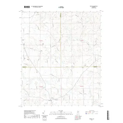
2018 Map of Preston
USGS Topo · Published 2018About this map
Preston and the rural crossroads of Handle anchor this East Mississippi landscape, where the borders of Winston, Noxubee, and Kemper counties converge. The terrain is defined by a dense network of country roads like Old Mill Pond Rd and Ebenezer Church Rd, reflecting a dispersed agricultural settlement pattern where family life centered on local congregations and burial grounds. Many of these sites, such as Mount Pisgah Cem and the Rosamond Family Cem, provide essential data points for genealogical research in this tri-county area. Waterways like Hashuqua Cr and Dancing Rabbit Cr—the latter carrying significant historical weight for the Choctaw people—drain the area near Vernon Mill Pond. The map reveals a transition between rolling timberland and small-scale farming, preserved at a moment when traditional landmarks like Dry Creek Cem and Mount Hebron Cem still serve as primary geographic anchors.
Find a feature on this map
84 named features on this map. Tap any name to fly to it.
Don’t see what you’re looking for? This feature index may not catch every label — zoom into the map to look around manually.
Map Details
Editions of this 2018 Preston Map
This is the sole edition of this map. No revisions or reprints were ever made.
Other maps of this area

1953 · Meridian
USGS Topo · 1:250,000

1953 · West Point
USGS Topo · 1:250,000

1957 · Meridian
USGS Topo · 1:250,000

1958 · West Point
USGS Topo · 1:250,000

1962 · Lynville
USGS Topo · 1:24,000

1962 · Vernon
USGS Topo · 1:24,000

1962 · Owl Creek
USGS Topo · 1:24,000

1962 · Preston
USGS Topo · 1:24,000

1963 · West Point
USGS Topo · 1:250,000

1963 · De Kalb
USGS Topo · 1:24,000