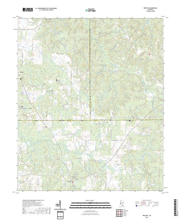
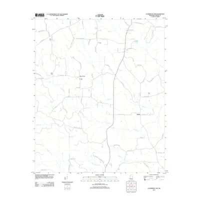
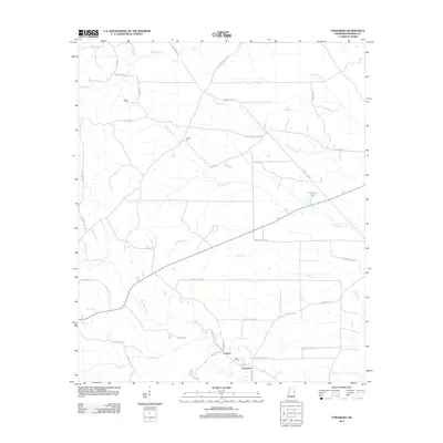
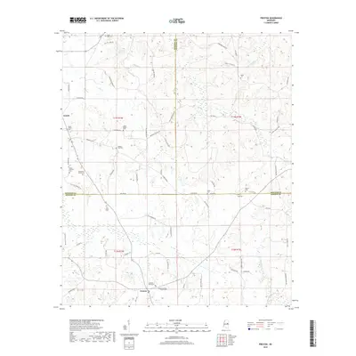
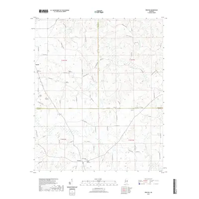
2024 Map of Preston
USGS Topo · Published 2024About this map
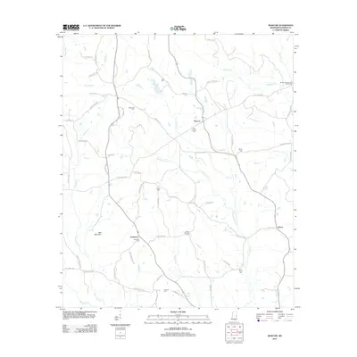
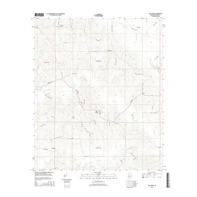
The boundary lines of Winston, Noxubee, and Kemper counties converge in this landscape, centered on the community of Preston. The area is characterized by a dense network of family cemeteries and rural congregations that trace the genealogy of the region, including the Rosamond Family Cem and the Pleasant Springs Presbyterian Church Cem. Waterways like Hashuqua Creek and Dancing Rabbit Creek wind through the terrain, while landmarks such as Old Mill Pond and Vernon Mill Pond indicate the historical importance of milling to the local economy. A complex system of rural roads, many bearing family names like Jr Boy Goodin Rd and Nelson Conner Rd, connects scattered homesteads and small settlements such as Handle.
Find a feature on this map
76 named features on this map. Tap any name to fly to it.
Don’t see what you’re looking for? This feature index may not catch every label — zoom into the map to look around manually.
Map Details
Editions of this 2024 Preston Map
This is the sole edition of this map. No revisions or reprints were ever made.
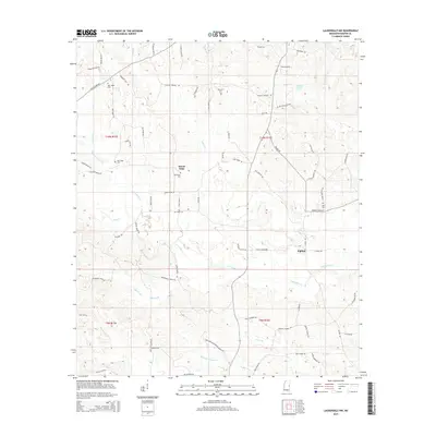
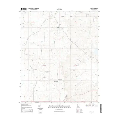
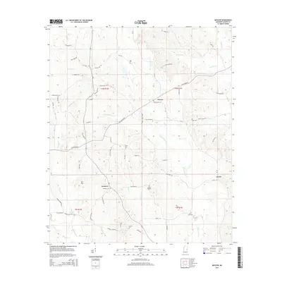
Historical Maps of Nanih Waiya Through Time
36 maps found
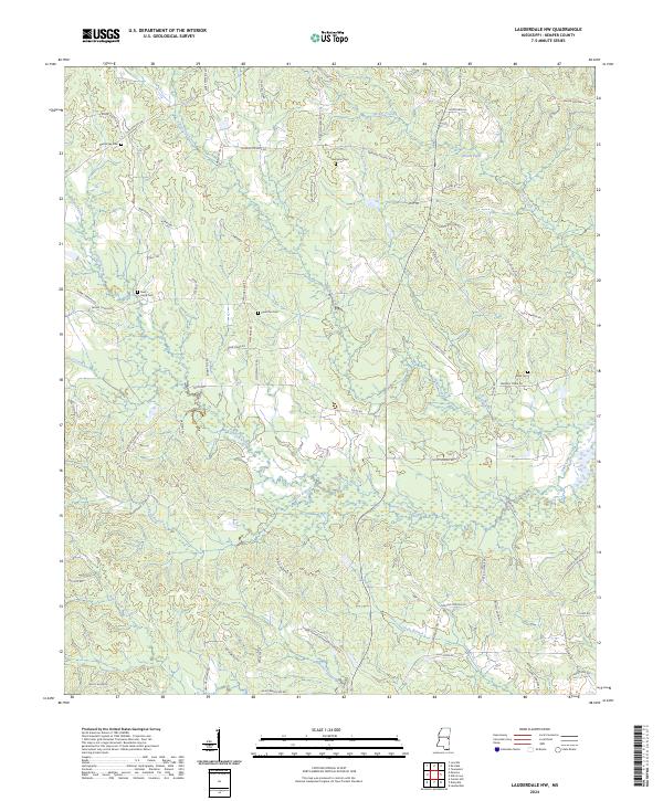
1962 Lauderdale NW
Kemper County, MS
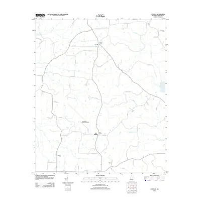
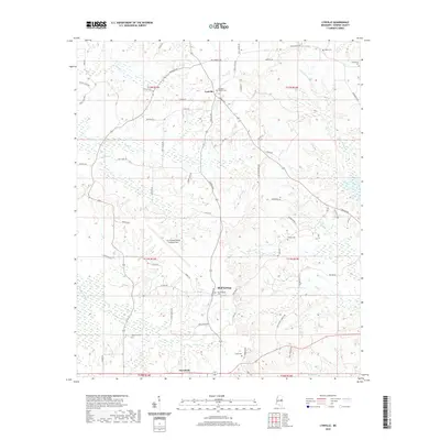
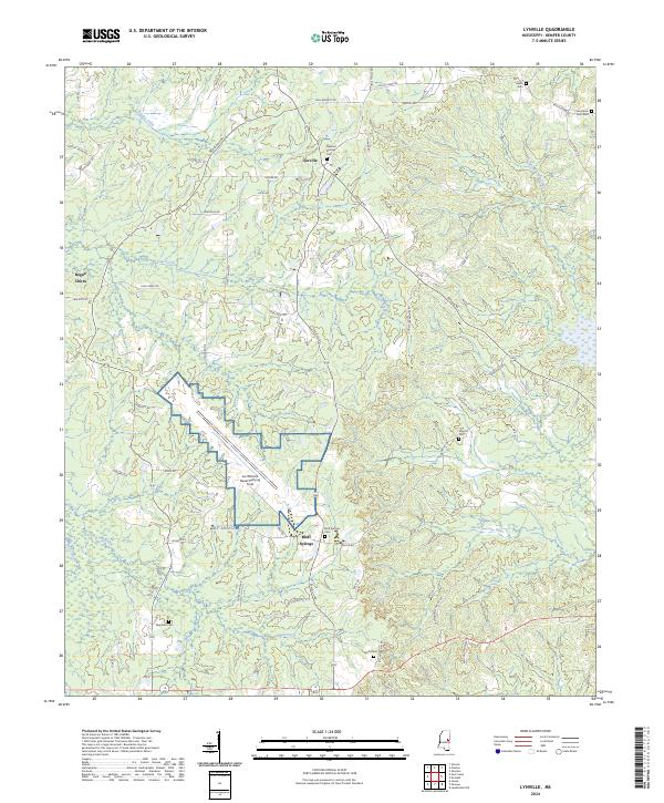
1962 Lynville
Kemper County, MS
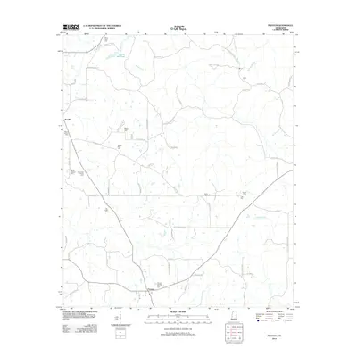
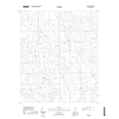
1962 Moscow
Kemper County, MS
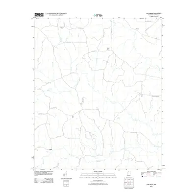
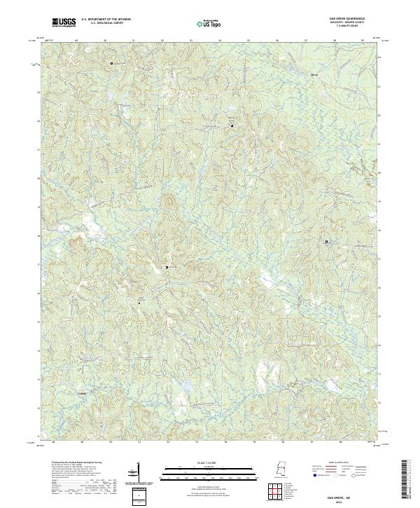
1962 Oak Grove
Kemper County, MS
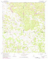
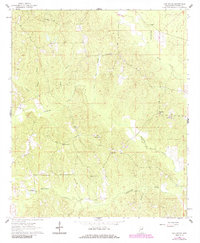
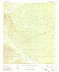
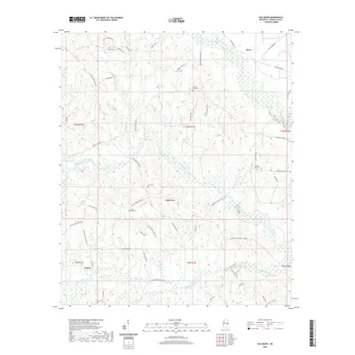
1962 Preston
Kemper County, MS
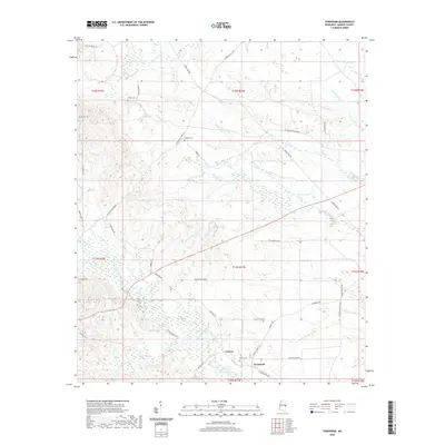
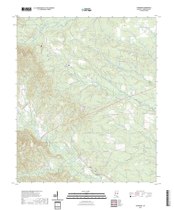
1963 Townsend
Kemper County, MS
2012 Lauderdale NW
Kemper County, MS
2012 Lynville
Kemper County, MS
2012 Moscow
Kemper County, MS
2012 Oak Grove
Kemper County, MS
2012 Preston
Kemper County, MS
2012 Townsend
Kemper County, MS
2015 Lauderdale NW
Kemper County, MS
2015 Lynville
Kemper County, MS
2015 Moscow
Kemper County, MS
2015 Oak Grove
Kemper County, MS
2015 Preston
Kemper County, MS
2015 Townsend
Kemper County, MS
2018 Lauderdale NW
Kemper County, MS
2018 Lynville
Kemper County, MS
2018 Moscow
Kemper County, MS
2018 Oak Grove
Kemper County, MS
2018 Preston
Kemper County, MS
2018 Townsend
Kemper County, MS
2020 Lauderdale NW
Kemper County, MS
2020 Lynville
Kemper County, MS
2020 Moscow
Kemper County, MS
2020 Oak Grove
Kemper County, MS
2020 Preston
Kemper County, MS
2020 Townsend
Kemper County, MS
2024 Lauderdale NW
Kemper County, MS
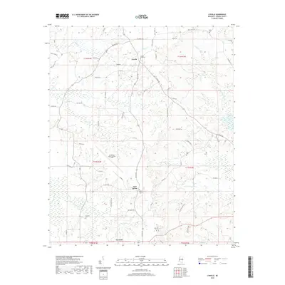
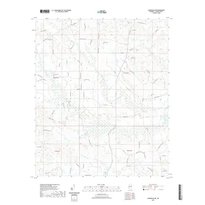
2024 Lynville
Kemper County, MS
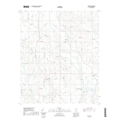
2024 Moscow
Kemper County, MS
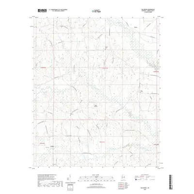
2024 Oak Grove
Kemper County, MS
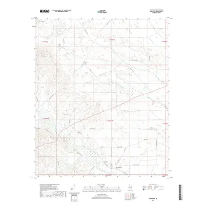
2024 Preston
Kemper County, MS
2024 Townsend
Kemper County, MS