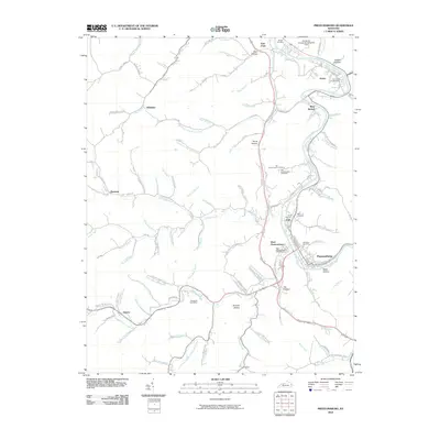
2010 Map of Prestonsburg
USGS Topo · Published 2010About this map
Louisa Fork winds through the heart of this Floyd County landscape, serving as the primary corridor for development and transport between Auxier and the city of Prestonsburg. The valley floor is tightly packed with residential and industrial features, including the Paintsville-Prestonsburg/Combs Field and several distinct neighborhoods such as West Prestonsburg and Cliff. Local history is preserved in numerous family-named burial grounds like the Governors Cemetery and Van Burenvaughn Cemetery, which are tucked into the rising slopes away from the river.
Find a feature on this map
111 named features on this map. Tap any name to fly to it.
Don’t see what you’re looking for? This feature index may not catch every label — zoom into the map to look around manually.
Map Details
Editions of this 2010 Prestonsburg Map
This is the sole edition of this map. No revisions or reprints were ever made.
Other maps of this area

1886 · Prestonsburg
USGS Topo · 1:125,000

1892 · Prestonsburg
USGS Topo · 1:125,000

1914 · Laynesville
USGS Topo · 1:48,000

1914 · Inez
USGS Topo · 1:48,000

1915 · Paintsville
USGS Topo · 1:48,000

1915 · Prestonsburg
USGS Topo · 1:62,500

1916 · Harold
USGS Topo · 1:62,500

1916 · Inez
USGS Topo · 1:62,500

1917 · Paintsville
USGS Topo · 1:62,500

1918 · Prestonsburg
USGS Topo · 1:62,500