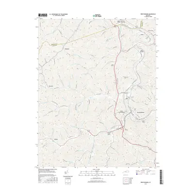
2016 Map of Prestonsburg
USGS Topo · Published 2016About this map
The Levisa Fork cuts a winding path through the heart of Floyd County, anchoring the commercial and residential centers of Prestonsburg and West Prestonsburg. This 2016 survey illustrates a landscape where narrow valleys and hollows dictate the layout of community infrastructure, from the winding Abbott Creek Rd to the various family and community burial grounds like May Cem and Davidson Cem. The presence of the Big Sandy Community and Technical Coll and the Paintsville-Prestonsburg-Combs Field north of the city highlights the area's role as a regional hub for education and aviation. Smaller settlements such as Auxier and Whitaker are tucked into the drainages of the Levisa Fork, while naming conventions for features like Stumbo Hollow and Kelse Hollow reflect deep-rooted local heritage. This map provides a clear record of the modern transportation network, including State Road Fork and Old State Hwy 114, laid over the complex topography of the Cumberland Plateau.
Find a feature on this map
122 named features on this map. Tap any name to fly to it.
Don’t see what you’re looking for? This feature index may not catch every label — zoom into the map to look around manually.
Map Details
Editions of this 2016 Prestonsburg Map
This is the sole edition of this map. No revisions or reprints were ever made.
Other maps of this area

1886 · Prestonsburg
USGS Topo · 1:125,000

1892 · Prestonsburg
USGS Topo · 1:125,000

1914 · Laynesville
USGS Topo · 1:48,000

1914 · Inez
USGS Topo · 1:48,000

1915 · Paintsville
USGS Topo · 1:48,000

1915 · Prestonsburg
USGS Topo · 1:62,500

1916 · Harold
USGS Topo · 1:62,500

1916 · Inez
USGS Topo · 1:62,500

1917 · Paintsville
USGS Topo · 1:62,500

1918 · Prestonsburg
USGS Topo · 1:62,500