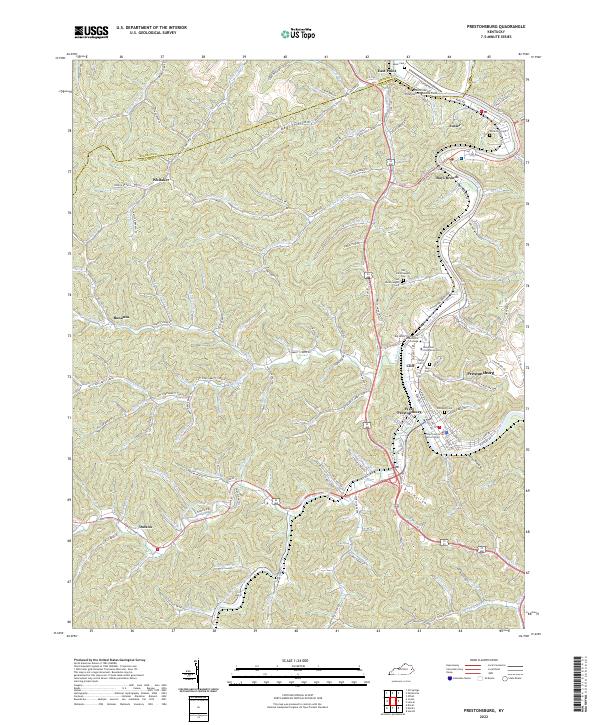
2022 Map of Prestonsburg
USGS Topo · Published 2022About this map
The Levisa Fork winds through the heart of the Cumberland Plateau, defining the corridor where Prestonsburg and its surrounding communities have taken root. This 2022 survey captures the modern landscape of the Floyd County seat, showcasing a shift from early river-and-rail industry to a regional center for education and justice. Higher education is a prominent fixture, represented by both the Big Sandy Community and Technical College and Morehead State University campuses. Outside the urban core, the terrain is deeply dissected by numerous hollows and branches like Bear Hollow and Sally Stevens Br, reflecting the traditional Appalachian settlement pattern where homes and roads follow the narrow valley floors.
Find a feature on this map
140 named features on this map. Tap any name to fly to it.
Don’t see what you’re looking for? This feature index may not catch every label — zoom into the map to look around manually.
Map Details
Editions of this 2022 Prestonsburg Map
This is the sole edition of this map. No revisions or reprints were ever made.
Other maps of this area

1886 · Prestonsburg
USGS Topo · 1:125,000

1892 · Prestonsburg
USGS Topo · 1:125,000

1914 · Laynesville
USGS Topo · 1:48,000

1914 · Inez
USGS Topo · 1:48,000

1915 · Paintsville
USGS Topo · 1:48,000

1915 · Prestonsburg
USGS Topo · 1:62,500

1916 · Harold
USGS Topo · 1:62,500

1916 · Inez
USGS Topo · 1:62,500

1917 · Paintsville
USGS Topo · 1:62,500

1918 · Prestonsburg
USGS Topo · 1:62,500