
1915 Map of Prestonsburg
USGS Topo · Published 1915About this map
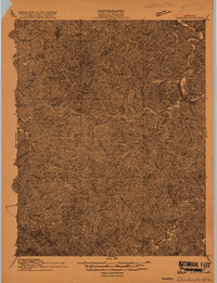
Prestonsburg sits along the winding course of the Levisa Fork in this 1915 survey of Floyd County and its neighbors. The region is defined by a dense network of steep hills and creek valleys, where small settlements like Ivyton, Riceville, and Bonanza were established at key drainage forks. Transportation and industry follow the water; the Chesapeake and Ohio railroad tracks the river bank, supporting extraction operations such as the Cliff Mine. Local history is deeply embedded in the family and place-named drainages like Prater Br, Hale Fork, and Salyers Branch. The map also captures several combined post offices and communities such as Maytown Langley PO and Dinwood Alphoretta PO, reflecting the rural mail and trade patterns of early 20th-century eastern Kentucky. Significant county boundaries, including those for Johnson, Magoffin, and Breathitt, segment the territory along the ridgelines.
Find a feature on this map
95 named features on this map. Tap any name to fly to it.
Don’t see what you’re looking for? This feature index may not catch every label — zoom into the map to look around manually.
Map Details
Editions of this 1915 Prestonsburg Map
2 editions found
Other maps of this area

1886 · Prestonsburg
USGS Topo · 1:125,000

1889 · Salyersville
USGS Topo · 1:125,000

1890 · Whitesburg
USGS Topo · 1:125,000

1891 · Hazard
USGS Topo · 1:125,000

1891 · Salyersville
USGS Topo · 1:125,000

1892 · Whitesburg
USGS Topo · 1:125,000

1892 · Prestonsburg
USGS Topo · 1:125,000

1899 · Salyersville
USGS Topo · 1:125,000

1912 · Hindman
USGS Topo · 1:48,000

1914 · Laynesville
USGS Topo · 1:48,000