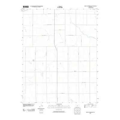
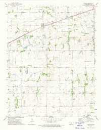
2009 Map of Pretty Prairie SW
USGS Topo · Published 2009About this map
North Fork Ninnescah River meanders across this rural Kansas landscape, joined by tributary waters like Silver Creek and Goose Creek. The terrain is defined by a grid of section roads, including Pretty Prairie Rd and S Hodge Rd, which connect the dispersed agricultural homesteads of Reno County. This late-2000s survey preserves the location of essential community landmarks like the Pleasant Hill Cemetery and Sego Cemetery, providing a precise record of the area's local geography before further modernization. The presence of Wolf Creek and Irish Creek further illustrates the complex drainage system feeding the Ninnescah watershed in this prairie region.
Find a feature on this map
27 named features on this map. Tap any name to fly to it.
Don’t see what you’re looking for? This feature index may not catch every label — zoom into the map to look around manually.
Map Details
Editions of this 2009 Pretty Prairie SW Map
This is the sole edition of this map. No revisions or reprints were ever made.
Other maps of this area

1892 · Kingman
USGS Topo · 1:125,000

1894 · Kingman
USGS Topo · 1:125,000

1955 · Pratt
USGS Topo · 1:250,000

1959 · Pratt
USGS Topo · 1:250,000

1967 · Kingman NW
USGS Topo · 1:24,000
1967 · Kingman
USGS Topo · 1:24,000

1967 · Penalosa
USGS Topo · 1:24,000
1971 · Pretty Prairie
USGS Topo · 1:24,000
1971 · Pretty Prairie SW
USGS Topo · 1:24,000
1971 · Langdon
USGS Topo · 1:24,000