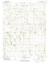
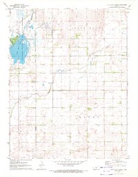
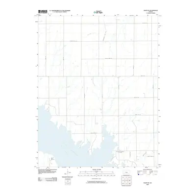
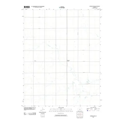
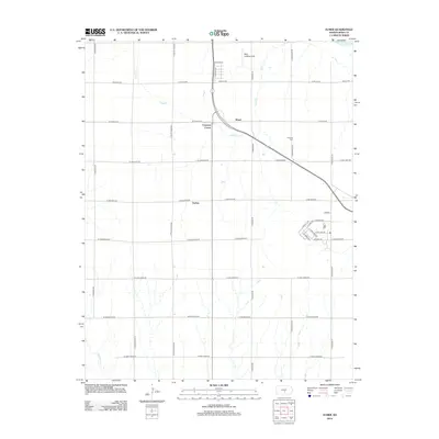
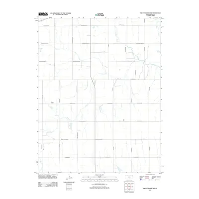
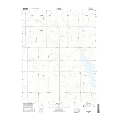
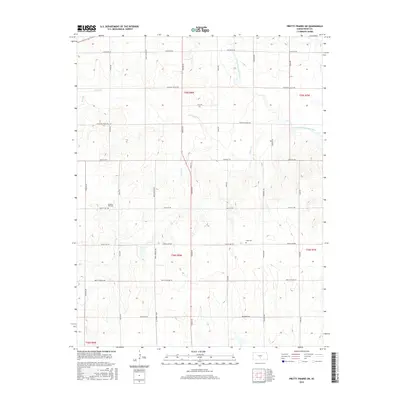
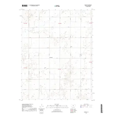
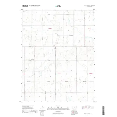
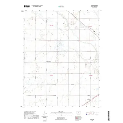
1971 Map of Pretty Prairie SW
USGS Topo · Published 1974About this map
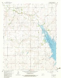
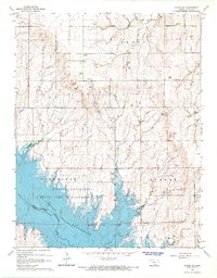
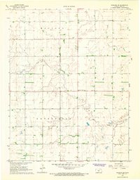
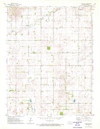
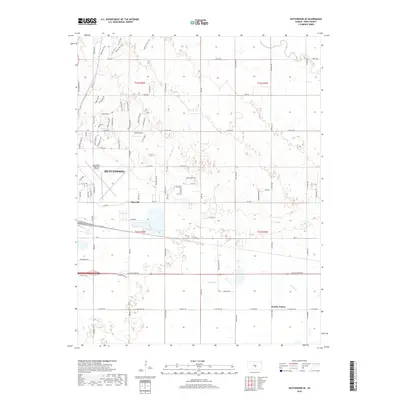
The Old Indian Treaty Boundary slices across the southern landscape of Reno County, marking a historic line of demarcation through the townships of Loda, Bell, and Roscoe. In the early 1970s, this rural Kansas terrain was defined by its rolling topography and the drainage basins of the North Fork Ninnescah River, Silver Creek, and Goose Creek. Settlement patterns are distinctly agrarian, anchored by a central Townhall and local community landmarks such as Sego Cem and Pleasant Hill Cem. Transportation and industry are represented by the C R I & P railroad corridor in the northwest and a network of pipelines and gas wells. This survey provides a clear view of the intersection between historical treaty lines and the mid-century agricultural landscape of Arlington and Troy townships.
Find a feature on this map
17 named features on this map. Tap any name to fly to it.
Don’t see what you’re looking for? This feature index may not catch every label — zoom into the map to look around manually.
Map Details
Editions of this 1971 Pretty Prairie SW Map
This is the sole edition of this map. No revisions or reprints were ever made.
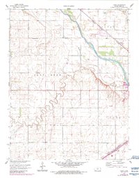
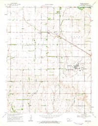
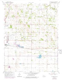
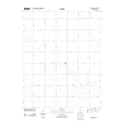
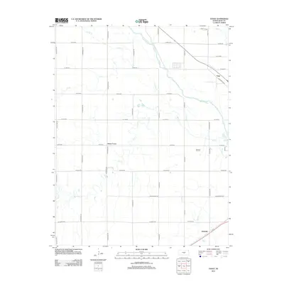
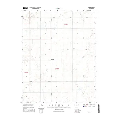
Historical Maps of Reno County Through Time
54 maps found
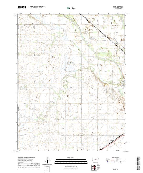
1960 Yaggy
Reno County, KS
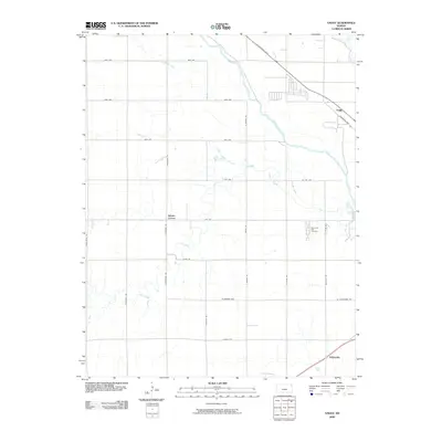
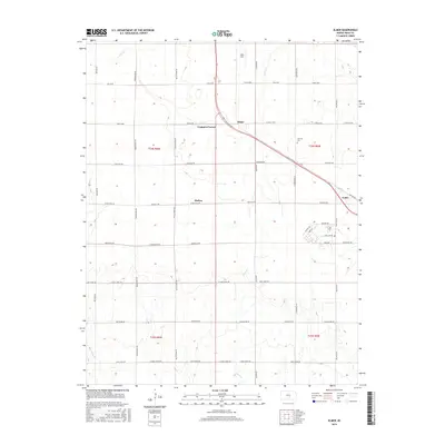
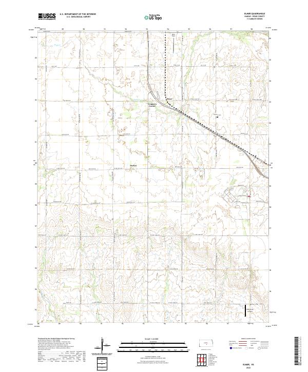
1961 Elmer
Reno County, KS
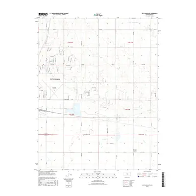
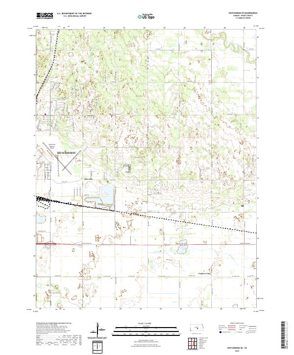
1961 Hutchinson SE
Reno County, KS
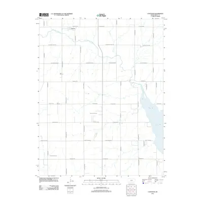
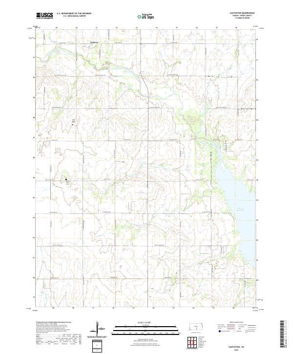
1965 Castleton
Reno County, KS
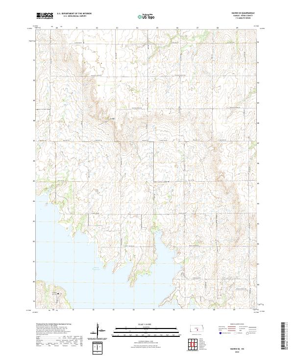
1965 Haven SE
Reno County, KS
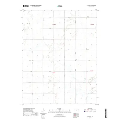
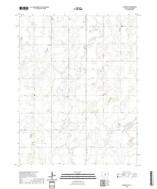
1966 Sterling SW
Reno County, KS
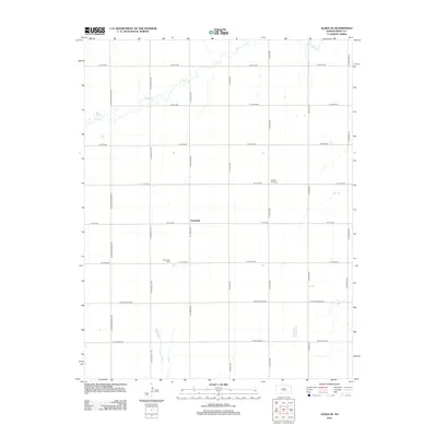
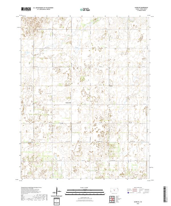
1971 Alden SE
Reno County, KS
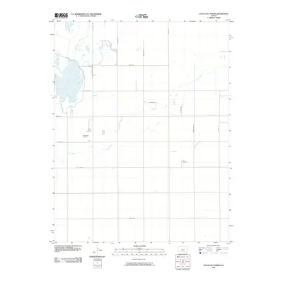
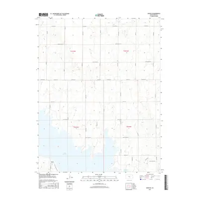
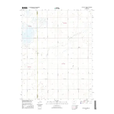
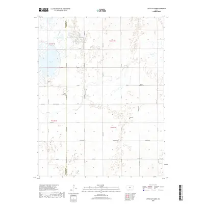
1971 Little Salt Marsh
Reno County, KS
1971 Pretty Prairie SW
Reno County, KS
2009 Alden SE
Reno County, KS
2009 Castleton
Reno County, KS
2009 Elmer
Reno County, KS
2009 Haven SE
Reno County, KS
2009 Hutchinson SE
Reno County, KS
2009 Little Salt Marsh
Reno County, KS
2009 Pretty Prairie SW
Reno County, KS
2009 Sterling SW
Reno County, KS
2009 Yaggy
Reno County, KS
2012 Alden SE
Reno County, KS
2012 Castleton
Reno County, KS
2012 Elmer
Reno County, KS
2012 Haven SE
Reno County, KS
2012 Hutchinson SE
Reno County, KS
2012 Little Salt Marsh
Reno County, KS
2012 Pretty Prairie SW
Reno County, KS
2012 Sterling SW
Reno County, KS
2012 Yaggy
Reno County, KS
2015 Alden SE
Reno County, KS
2015 Castleton
Reno County, KS
2015 Elmer
Reno County, KS
2015 Haven SE
Reno County, KS
2015 Hutchinson SE
Reno County, KS
2015 Little Salt Marsh
Reno County, KS
2015 Pretty Prairie SW
Reno County, KS
2015 Sterling SW
Reno County, KS
2015 Yaggy
Reno County, KS
2018 Alden SE
Reno County, KS
2018 Castleton
Reno County, KS
2018 Elmer
Reno County, KS
2018 Haven SE
Reno County, KS
2018 Hutchinson SE
Reno County, KS
2018 Little Salt Marsh
Reno County, KS
2018 Pretty Prairie SW
Reno County, KS
2018 Sterling SW
Reno County, KS
2018 Yaggy
Reno County, KS
2022 Alden SE
Reno County, KS
2022 Castleton
Reno County, KS
2022 Elmer
Reno County, KS
2022 Haven SE
Reno County, KS
2022 Hutchinson SE
Reno County, KS

2022 Little Salt Marsh
Reno County, KS

2022 Pretty Prairie SW
Reno County, KS
2022 Sterling SW
Reno County, KS
2022 Yaggy
Reno County, KS